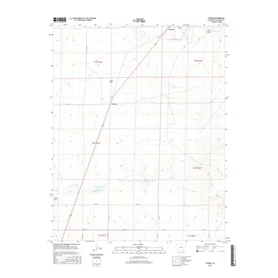
2016 Map of Tyrone
USGS Topo · Published 2016About this map
Tyrone Flats and the expansive Adobe Flats define the arid landscape of Las Animas County in this 2016 survey. The small settlement of Tyrone sits at a highway junction, serving as a focal point for the surrounding ranching and range land. Further north, the community of Simpson is marked by the presence of the Simpson Cem, a significant site for local genealogical research and historical study.
Find a feature on this map
28 named features on this map. Tap any name to fly to it.
Don’t see what you’re looking for? This feature index may not catch every label — zoom into the map to look around manually.
Map Details
Editions of this 2016 Tyrone Map
This is the sole edition of this map. No revisions or reprints were ever made.
Other maps of this area

1891 · Apishapa
USGS Topo · 1:125,000

1892 · Elmoro
USGS Topo · 1:125,000

1893 · Apishapa
USGS Topo · 1:125,000

1893 · Elmoro
USGS Topo · 1:125,000

1897 · Elmoro
USGS Topo · 1:125,000

1897 · Apishapa
USGS Topo · 1:125,000

1954 · Trinidad
USGS Topo · 1:250,000

1955 · Trinidad
USGS Topo · 1:250,000

1958 · Trinidad
USGS Topo · 1:250,000

1959 · Trinidad
USGS Topo · 1:250,000