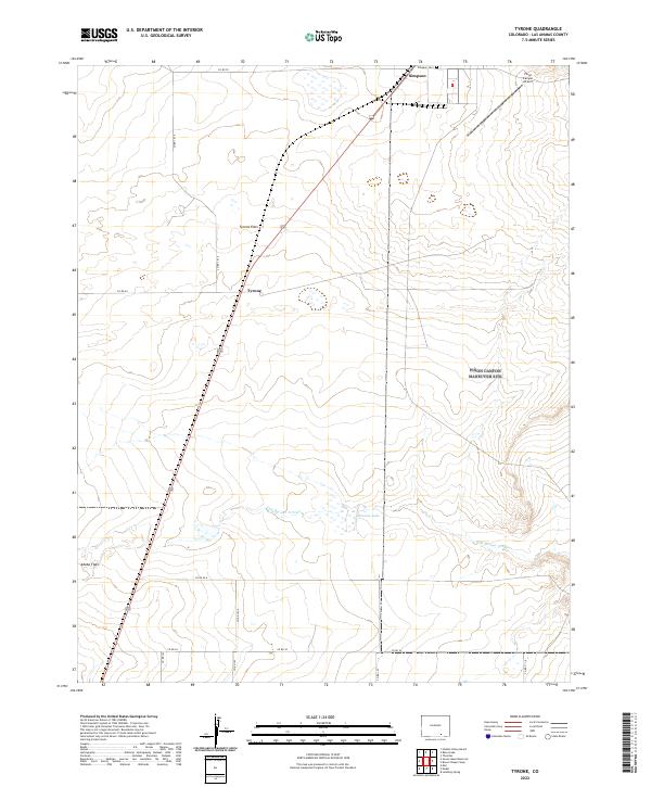
2022 Map of Tyrone
USGS Topo · Published 2022About this map
Tyrone Flats and Adobe Flats characterize the open landscape of this high-plains region in Las Animas County. The map documents a sparsely populated area where tiny settlements like Tyrone and Simpson serve as focal points for local navigation. Transportation is primarily defined by a network of county roads including Co RD 70 and Co RD 54 that traverse the arid terrain. For those researching family ties to the region, the Simpson Cem is a significant local-history landmark. The drainage of Van Bremer Arroyo and the seasonal presence of Browns Lake illustrate the hydrology of the shortgrass prairie. The inclusion of Pinon Canyon Airport in the northeast corner provides a contemporary reference for this otherwise isolated cattle-ranching and military training landscape.
Find a feature on this map
25 named features on this map. Tap any name to fly to it.
Don’t see what you’re looking for? This feature index may not catch every label — zoom into the map to look around manually.
Map Details
Editions of this 2022 Tyrone Map
This is the sole edition of this map. No revisions or reprints were ever made.
Other maps of this area

1891 · Apishapa
USGS Topo · 1:125,000

1892 · Elmoro
USGS Topo · 1:125,000

1893 · Apishapa
USGS Topo · 1:125,000

1893 · Elmoro
USGS Topo · 1:125,000

1897 · Elmoro
USGS Topo · 1:125,000

1897 · Apishapa
USGS Topo · 1:125,000

1954 · Trinidad
USGS Topo · 1:250,000

1955 · Trinidad
USGS Topo · 1:250,000

1958 · Trinidad
USGS Topo · 1:250,000

1959 · Trinidad
USGS Topo · 1:250,000