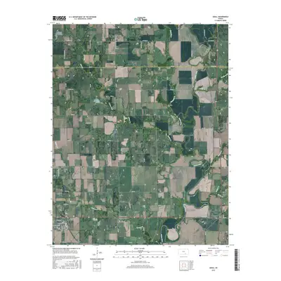
2015 Map of Udall
USGS Topo · Published 2015About this map
The Walnut River meanders through the eastern portions of this landscape, carving a wide floodplain that has long dictated the layout of rural roads and property lines near the Butler and Cowley county border. This 2015 survey shows the town of Udall in the southwest, where a rigid street grid intersects with the surrounding agricultural section lines. The proximity of Stewart Creek and Polecat Creek to the town site highlights the drainage patterns that define this part of the Flint Hills region.
Find a feature on this map
68 named features on this map. Tap any name to fly to it.
Don’t see what you’re looking for? This feature index may not catch every label — zoom into the map to look around manually.
Map Details
Editions of this 2015 Udall Map
This is the sole edition of this map. No revisions or reprints were ever made.
Other maps of this area

1888 · Eldorado
USGS Topo · 1:125,000

1889 · Burden
USGS Topo · 1:125,000

1889 · Wichita
USGS Topo · 1:125,000

1890 · Wellington
USGS Topo · 1:125,000

1894 · Wichita
USGS Topo · 1:125,000

1955 · Udall
USGS Topo · 1:24,000

1955 · Rose Hill
USGS Topo · 1:24,000

1955 · Mulvane
USGS Topo · 1:24,000

1955 · Douglass
USGS Topo · 1:24,000

1955 · Wichita
USGS Topo · 1:250,000