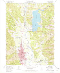
1958 Map of Ukiah
USGS Topo · Published 1972About this map
The valley floor around Ukiah and Talmage is dominated by the newly formed Lake Mendocino, created by the construction of Coyote Dam on the East Fork Russian River. This late-1950s landscape illustrates a period of significant hydraulic management and civic expansion. To the east of the river, the massive complex of the Mendocino State Hospital stands near Asylum, while the Pinoliville Rancheria and Guidiville Rancheria mark indigenous land holdings adjacent to the growing city.
Find a feature on this map
69 named features on this map. Tap any name to fly to it.
Don’t see what you’re looking for? This feature index may not catch every label — zoom into the map to look around manually.
Map Details
Editions of this 1958 Ukiah Map
3 editions found
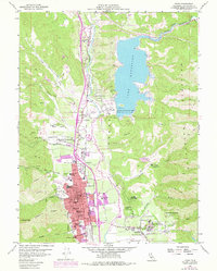
Other maps of this area

1920 · Ukiah
USGS Topo · 1:62,500

1922 · Willits
USGS Topo · 1:62,500

1942 · Willits
USGS Topo · 1:62,500

1943 · Pomo
USGS Topo · 1:62,500

1943 · Boonville
USGS Topo · 1:62,500

1944 · Ukiah
USGS Topo · 1:62,500

1944 · Willits
USGS Topo · 1:62,500

1957 · Ukiah
USGS Topo · 1:250,000
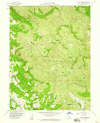
1958 · Purdys Gardens
USGS Topo · 1:24,000

1958 · Ukiah
USGS Topo · 1:24,000