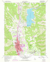
1958 Map of Ukiah
USGS Topo · Published 1978About this map
Ukiah serves as the focal point of this Mendocino County landscape, where the Redwood Highway and the Northwestern Pacific railroad track the course of the Russian River. The construction of Coyote Dam created Lake Mendocino on the East Fork Russian River, a major engineering feature that transformed the local topography. This document provides a detailed look at the mid-century expansion of the city, including institutional sites like the Mendocino State Hospital and the Asylum at Talmage.
Find a feature on this map
68 named features on this map. Tap any name to fly to it.
Don’t see what you’re looking for? This feature index may not catch every label — zoom into the map to look around manually.
Map Details
Editions of this 1958 Ukiah Map
3 editions found
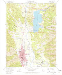
Other maps of this area

1920 · Ukiah
USGS Topo · 1:62,500

1922 · Willits
USGS Topo · 1:62,500

1942 · Willits
USGS Topo · 1:62,500

1943 · Pomo
USGS Topo · 1:62,500

1943 · Boonville
USGS Topo · 1:62,500

1944 · Ukiah
USGS Topo · 1:62,500

1944 · Willits
USGS Topo · 1:62,500

1957 · Ukiah
USGS Topo · 1:250,000
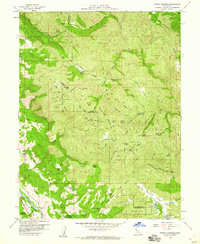
1958 · Purdys Gardens
USGS Topo · 1:24,000

1958 · Ukiah
USGS Topo · 1:24,000