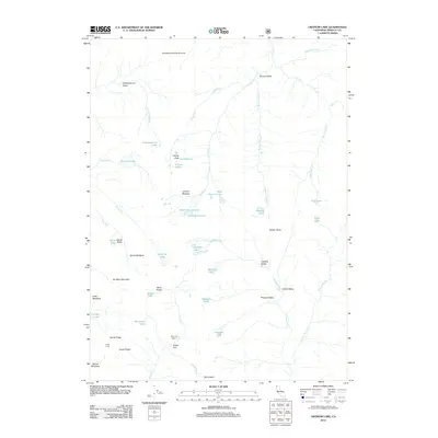
2012 Map of Ukonom Lake
USGS Topo · Published 2012About this map
Johnsons Hunting Ground and the high drainage basins of the Marble Mountain Wilderness define this Siskiyou County landscape. The area is marked by a high density of alpine lakes, including the central Ukonom Lake and the cluster of Blue Granite Lake, Green Granite Lake, and Gold Granite Lake to the southeast. These water bodies are connected by a network of seasonal and perennial streams such as Ukonom Cr and Burney Valley Cr.
Find a feature on this map
54 named features on this map. Tap any name to fly to it.
Don’t see what you’re looking for? This feature index may not catch every label — zoom into the map to look around manually.
Map Details
Editions of this 2012 Ukonom Lake Map
This is the sole edition of this map. No revisions or reprints were ever made.
Other maps of this area

1914 · Seiad
USGS Topo · 1:125,000

1922 · Seiad
USGS Topo · 1:125,000

1948 · Weed
USGS Topo · 1:250,000

1950 · Weed
USGS Topo · 1:250,000

1955 · Sawyers Bar
USGS Topo · 1:62,500

1955 · Ukonom Lake
USGS Topo · 1:62,500

1955 · Scott Bar
USGS Topo · 1:62,500

1955 · Forks of Salmon
USGS Topo · 1:62,500

1958 · Weed
USGS Topo · 1:250,000

1963 · Weed
USGS Topo · 1:250,000