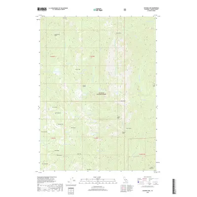
2018 Map of Ukonom Lake
USGS Topo · Published 2018About this map
Klamath National Forest defines this high-elevation landscape in the late 2010s, where complex hydrology feeds into the Marble Mountains. The map reveals a dense concentration of glacial lakes and meadows, including the namesake Ukonom Lake and the nearby Cuddihy Lakes. This terrain is characterized by dramatic elevation shifts from the heights of No Mans Mtn and Elk Peak down to the protected reaches of Burney Valley and Franks Valley. The drainage patterns are clearly visible as Ukonom Cr and the McCash Fork carve through the ridgelines. For those studying the wilderness geography of Siskiyou County, the map provides precise locations for named landmarks like Pigeon Roost, Cedar Flat, and Hells Meadows, reflecting the long-established naming conventions of this remote mountain region.
Find a feature on this map
61 named features on this map. Tap any name to fly to it.
Don’t see what you’re looking for? This feature index may not catch every label — zoom into the map to look around manually.
Map Details
Editions of this 2018 Ukonom Lake Map
This is the sole edition of this map. No revisions or reprints were ever made.
Other maps of this area

1914 · Seiad
USGS Topo · 1:125,000

1922 · Seiad
USGS Topo · 1:125,000

1948 · Weed
USGS Topo · 1:250,000

1950 · Weed
USGS Topo · 1:250,000

1955 · Sawyers Bar
USGS Topo · 1:62,500

1955 · Ukonom Lake
USGS Topo · 1:62,500

1955 · Scott Bar
USGS Topo · 1:62,500

1955 · Forks of Salmon
USGS Topo · 1:62,500

1958 · Weed
USGS Topo · 1:250,000

1963 · Weed
USGS Topo · 1:250,000