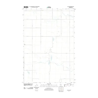
2011 Map of Ulen SW
USGS Topo · Published 2011About this map
Felton Cemetery marks the western edge of this Clay County landscape, positioned along a straight grid of rural roads in the Red River Valley. The terrain is defined by the subtle, winding courses of the South Branch Wild Rice River in the northeast and the meandering Felton Creek that cuts across the southern half of the map. These waterways provide the primary relief in an otherwise strictly organized agricultural grid, where arterial routes like 190th Ave N and 200th St N segment the prairie into large rectangular parcels. This map captures the region’s long-standing reliance on its natural drainage systems amidst a highly engineered road network, preserving the spatial relationship between local burial grounds and the surrounding farms.
Find a feature on this map
15 named features on this map. Tap any name to fly to it.
Don’t see what you’re looking for? This feature index may not catch every label — zoom into the map to look around manually.
Map Details
Editions of this 2011 Ulen SW Map
This is the sole edition of this map. No revisions or reprints were ever made.
Other maps of this area

1895 · Fargo
USGS Topo · 1:125,000

1897 · Fargo
USGS Topo · 1:125,000

1918 · Ulen
USGS Topo · 1:62,500

1919 · Hawley
USGS Topo · 1:62,500

1952 · Grand Forks
USGS Topo · 1:250,000

1953 · Fargo
USGS Topo · 1:250,000

1956 · Fargo
USGS Topo · 1:250,000

1956 · Grand Forks
USGS Topo · 1:250,000
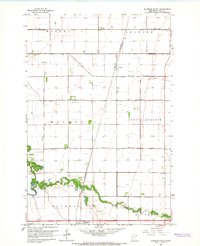
1964 · Glyndon North
USGS Topo · 1:24,000

1965 · Syre
USGS Topo · 1:24,000