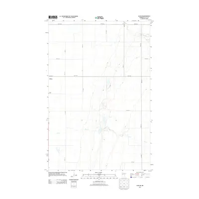
2013 Map of Ulen SW
USGS Topo · Published 2013About this map
The agrarian landscape of Clay County is defined here by a rigorous section-line road grid that surrounds the small settlement of Felton. This 2013 survey illustrates the intersection of rural life and transportation, where MN 9 serves as the primary north-south artery connecting the community to the wider Red River Valley region. Water management is central to the local geography, with the S Br Wild Rice River and Felton Cr cutting subtle, meandering paths across the otherwise orderly agricultural blocks. For those researching local history or genealogy, the inclusion of the Felton Cem provides a specific point of interest just outside the main residential cluster. The map captures the quiet persistence of these Minnesota prairie settlements, where named avenues like 190th Ave N stretch toward the horizon between family-farmed tracts.
Find a feature on this map
15 named features on this map. Tap any name to fly to it.
Don’t see what you’re looking for? This feature index may not catch every label — zoom into the map to look around manually.
Map Details
Editions of this 2013 Ulen SW Map
This is the sole edition of this map. No revisions or reprints were ever made.
Other maps of this area

1895 · Fargo
USGS Topo · 1:125,000

1897 · Fargo
USGS Topo · 1:125,000

1918 · Ulen
USGS Topo · 1:62,500

1919 · Hawley
USGS Topo · 1:62,500

1952 · Grand Forks
USGS Topo · 1:250,000

1953 · Fargo
USGS Topo · 1:250,000

1956 · Fargo
USGS Topo · 1:250,000

1956 · Grand Forks
USGS Topo · 1:250,000
1964 · Glyndon North
USGS Topo · 1:24,000

1965 · Syre
USGS Topo · 1:24,000