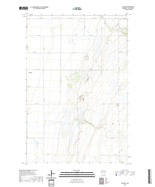
2022 Map of Ulen SW
USGS Topo · Published 2022About this map
Felton serves as the primary settlement on this Clay County prairie, situated within the flat topography of the Red River Valley. The landscape is defined by the subtle drainages of Felton Cr and the meandering path of the S Br Wild Rice River in the northeast. This 2022 survey illustrates the rectilinear grid of the Public Land Survey System, where roads like 190th Ave N and 160th St N follow section lines across several townships, including t142n r46w and t141n r45w. Local history is anchored at the Felton Cem, providing a focal point for genealogical research in this rural agricultural region. The map reflects a modern transport network where established routes like Co Hwy 40 and Co Rd 112 connect the sparse farmsteads and open wetlands of the northern plains.
Find a feature on this map
25 named features on this map. Tap any name to fly to it.
Don’t see what you’re looking for? This feature index may not catch every label — zoom into the map to look around manually.
Map Details
Editions of this 2022 Ulen SW Map
This is the sole edition of this map. No revisions or reprints were ever made.
Other maps of this area

1895 · Fargo
USGS Topo · 1:125,000

1897 · Fargo
USGS Topo · 1:125,000

1918 · Ulen
USGS Topo · 1:62,500

1919 · Hawley
USGS Topo · 1:62,500

1952 · Grand Forks
USGS Topo · 1:250,000

1953 · Fargo
USGS Topo · 1:250,000

1956 · Fargo
USGS Topo · 1:250,000

1956 · Grand Forks
USGS Topo · 1:250,000
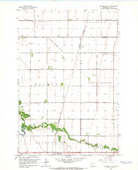
1964 · Glyndon North
USGS Topo · 1:24,000

1965 · Syre
USGS Topo · 1:24,000