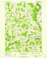
1957 Map of Ulster
USGS Topo · Published 1958About this map
The Susquehanna River defines the eastern edge of this landscape, carving the deep Sheshequin Valley where the Lehigh Valley railroad and Totem Park sit near the village of Ulster. Moving west across the high ridges, the map reveals a rural network of small settlements like Luthers Mills and East Smithfield, connected by the Roosevelt Highway as it follows the path of Sugar Creek. Notable local landmarks include a Covered Bridge near the County Memorial Park and various family-named sites such as Riggs Ch and Kendall Hill. The distribution of numerous small burial grounds, including Union Cem and Gustin Cem, reflects the long-standing agricultural foundations of Bradford County's townships during the mid-20th century. The terrain is marked by significant elevations like Lynch Hill and the recreational waters of Mountain Lake.
Find a feature on this map
52 named features on this map. Tap any name to fly to it.
Don’t see what you’re looking for? This feature index may not catch every label — zoom into the map to look around manually.
Map Details
Editions of this 1957 Ulster Map
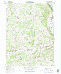
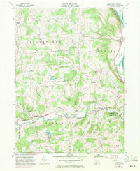
Other maps of this area

1923 · Towanda
USGS Topo · 1:62,500

1926 · Towanda
USGS Topo · 1:62,500

1939 · Sayre
USGS Topo · 1:62,500

1942 · Sayre
USGS Topo · 1:62,500

1943 · Towanda
USGS Topo · 1:62,500

1943 · Monroeton
USGS Topo · 1:62,500

1943 · Powell
USGS Topo · 1:62,500

1945 · Powell
USGS Topo · 1:62,500

1948 · Sayre
USGS Topo · 1:62,500

1954 · Williamsport
USGS Topo · 1:250,000
Featured Places
- Sheshequin Township, PA
- Ulster Township, PA
- North Towanda Township, PA
- West Burlington Township, PA
- Burlington, PA