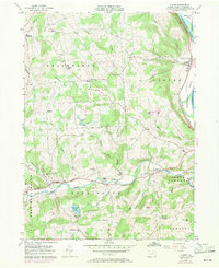
1957 Map of Ulster
USGS Topo · Published 1971About this map
The Susquehanna River valley defines the eastern edge of this Bradford County landscape, where the Lehigh Valley railroad follows the river's path past Ulster. Inland, the terrain is shaped by a dense network of runs and creeks, including Sugar Creek and Browns Creek, which carved deep hollows like Toad Hollow into the upland plateaus. The 1957 field check reveals a well-established rural infrastructure of small settlements such as East Smithfield and Burlington, connected by the Roosevelt Highway.
Find a feature on this map
52 named features on this map. Tap any name to fly to it.
Don’t see what you’re looking for? This feature index may not catch every label — zoom into the map to look around manually.
Map Details
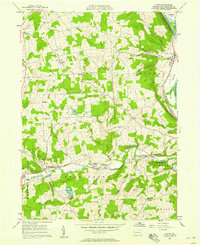
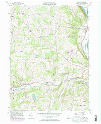
Editions of this 1957 Ulster Map
Other maps of this area

1923 · Towanda
USGS Topo · 1:62,500

1926 · Towanda
USGS Topo · 1:62,500

1939 · Sayre
USGS Topo · 1:62,500

1942 · Sayre
USGS Topo · 1:62,500

1943 · Towanda
USGS Topo · 1:62,500

1943 · Monroeton
USGS Topo · 1:62,500

1943 · Powell
USGS Topo · 1:62,500

1945 · Powell
USGS Topo · 1:62,500

1948 · Sayre
USGS Topo · 1:62,500

1954 · Williamsport
USGS Topo · 1:250,000
Featured Places
- Sheshequin Township, PA
- Ulster Township, PA
- North Towanda Township, PA
- West Burlington Township, PA
- Burlington, PA