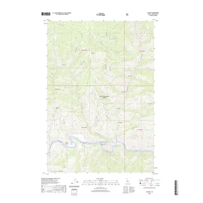
2020 Map of Ulysses
USGS Topo · Published 2020About this map
Salmon National Forest dominates this Lemhi County landscape, where the Salmon River carves a deep path through the central Idaho mountains. The area is characterized by high peaks such as Bald Mtn and Dutchler Mtn, interspersed with drainage systems like Squaw Creek and Indian Cr. The river corridor is protected as the Salmon Wild and Scenic River, a designation that preserves its free-flowing character.
Find a feature on this map
37 named features on this map. Tap any name to fly to it.
Don’t see what you’re looking for? This feature index may not catch every label — zoom into the map to look around manually.
Map Details
Editions of this 2020 Ulysses Map
This is the sole edition of this map. No revisions or reprints were ever made.
Other maps of this area

1956 · Elk City
USGS Topo · 1:250,000

1960 · Elk City
USGS Topo · 1:250,000

1960 · Painted Rocks Lake
USGS Topo · 1:62,500

1960 · Ulysses Mtn
USGS Topo · 1:62,500

1960 · Shoup
USGS Topo · 1:62,500

1960 · Piquett Mountain
USGS Topo · 1:62,500

1982 · Bighorn Crags
USGS Topo · 1:100,000
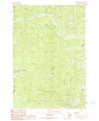
1991 · Henderson Ridge
USGS Topo · 1:24,000
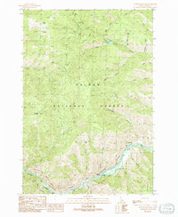
1991 · Ulysses Mountain
USGS Topo · 1:24,000
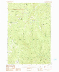
1991 · Allan Mountain
USGS Topo · 1:24,000