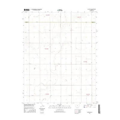
2015 Map of Ulysses NW
USGS Topo · Published 2015About this map
Wolf Cr winds through the high plains of western Kansas in this 2015 study, providing a rare natural drainage feature in an otherwise strictly partitioned landscape. The terrain is defined by the grid of the Public Land Survey System, where agriculture and resource extraction share the territory. Evidence of the region’s primary transportation network is visible through roads like Co Rd D, which follow the section lines and connect the sparse rural homesteads. This map illustrates the intersection of natural hydrology and the rigid human geometry of the Great Plains, capturing the area as it appeared in the mid-2010s.
Find a feature on this map
2 named features on this map. Tap any name to fly to it.
Don’t see what you’re looking for? This feature index may not catch every label — zoom into the map to look around manually.
Map Details
Editions of this 2015 Ulysses NW Map
This is the sole edition of this map. No revisions or reprints were ever made.
Other maps of this area

1891 · Larned
USGS Topo · 1:125,000

1900 · Syracuse
USGS Topo · 1:125,000

1900 · Lakin
USGS Topo · 1:125,000

1920 · Syracuse
USGS Topo · 1:125,000

1955 · Dodge City
USGS Topo · 1:250,000

1958 · Dodge City
USGS Topo · 1:250,000

1959 · Dodge City
USGS Topo · 1:250,000

1959 · Ulysses NW
USGS Topo · 1:24,000

1959 · Big Bow NE
USGS Topo · 1:24,000

1959 · Ulysses
USGS Topo · 1:24,000