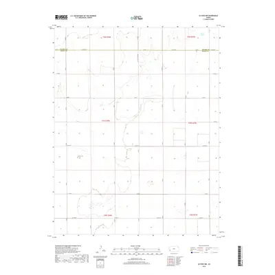
2018 Map of Ulysses NW
USGS Topo · Published 2018About this map
Grant County and Kearny County meet along a linear boundary in this High Plains landscape, where the Jeffersonian grid of the Public Land Survey System is deeply etched into the geography. The terrain is defined by its agricultural and industrial layout, evidenced by a dense network of section-line roads such as N Road C and County Road 7. One of the few significant relief features is the drainage of Wolf Creek, which meanders through the western portion of the township. Near the center of the sheet, the Shockey Cemetery stands as a focal point for local genealogical interest, representing a quiet record of the families who settled this part of Sherman Township. While largely rural, the presence of the Oil Well Access Road signals the importance of energy extraction alongside the traditional farming economy of western Kansas.
Find a feature on this map
25 named features on this map. Tap any name to fly to it.
Don’t see what you’re looking for? This feature index may not catch every label — zoom into the map to look around manually.
Map Details
Editions of this 2018 Ulysses NW Map
This is the sole edition of this map. No revisions or reprints were ever made.
Other maps of this area

1891 · Larned
USGS Topo · 1:125,000

1900 · Syracuse
USGS Topo · 1:125,000

1900 · Lakin
USGS Topo · 1:125,000

1920 · Syracuse
USGS Topo · 1:125,000

1955 · Dodge City
USGS Topo · 1:250,000

1958 · Dodge City
USGS Topo · 1:250,000

1959 · Dodge City
USGS Topo · 1:250,000

1959 · Ulysses NW
USGS Topo · 1:24,000

1959 · Big Bow NE
USGS Topo · 1:24,000

1959 · Ulysses
USGS Topo · 1:24,000