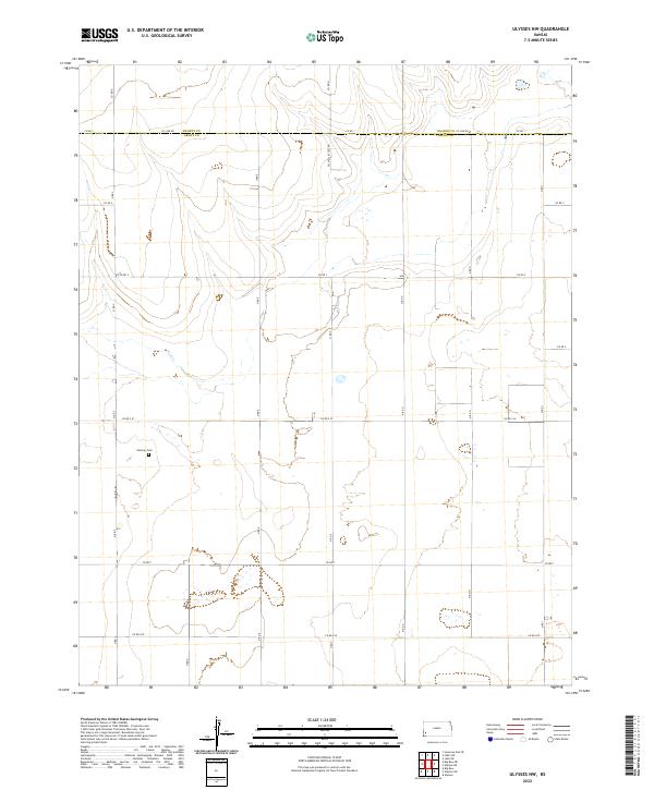
2022 Map of Ulysses NW
USGS Topo · Published 2022About this map
The High Plains of western Kansas are documented in this 2022 survey along the boundary of Kearny Co Grant Co. The landscape is defined by the ephemeral path of Wolf Cr and a dense network of sectional roads like Co RD 1 and Co RD 2. Settlement history is anchored by the Shockey Cem, a localized landmark for researchers and genealogists tracing the early agricultural families of this region. Outside of the scattered drainage pools and wetlands, the presence of the Oil Well Access Rd indicates the ongoing role of the energy industry in this rural section of the state. This map provides a clear picture of the modern township and range grid system across T27S R38W and neighboring quadrants.
Find a feature on this map
18 named features on this map. Tap any name to fly to it.
Don’t see what you’re looking for? This feature index may not catch every label — zoom into the map to look around manually.
Map Details
Editions of this 2022 Ulysses NW Map
This is the sole edition of this map. No revisions or reprints were ever made.
Other maps of this area

1891 · Larned
USGS Topo · 1:125,000

1900 · Syracuse
USGS Topo · 1:125,000

1900 · Lakin
USGS Topo · 1:125,000

1920 · Syracuse
USGS Topo · 1:125,000

1955 · Dodge City
USGS Topo · 1:250,000

1958 · Dodge City
USGS Topo · 1:250,000

1959 · Dodge City
USGS Topo · 1:250,000

1959 · Ulysses NW
USGS Topo · 1:24,000

1959 · Big Bow NE
USGS Topo · 1:24,000

1959 · Ulysses
USGS Topo · 1:24,000