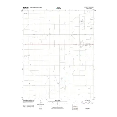
2009 Map of Ulysses SW
USGS Topo · Published 2009About this map
The North Fork Cimarron River meanders through the arid High Plains of southwest Kansas, carving a distinct hydrological path across a landscape defined by industrial agriculture and rural infrastructure. In the northeast corner of the map, the southwestern fringes of Ulysses show the transition from residential streets like Navillus St and Ortiz Ave to the essential transport hubs of the Ulysses Airport and the Pioneer Co-op Spur. A network of strictly gridded county roads, including Co Rd 10 and Co Rd 15, organizes the vast agricultural parcels that dominate the territory. Small rural nodes like Stano and Sullivans Track anchor the western reaches of the quadrangle, reflecting the sparse but vital settlement pattern required to manage the expansive fields of Grant County during the early 21st century.
Find a feature on this map
35 named features on this map. Tap any name to fly to it.
Don’t see what you’re looking for? This feature index may not catch every label — zoom into the map to look around manually.
Map Details
Editions of this 2009 Ulysses SW Map
This is the sole edition of this map. No revisions or reprints were ever made.
Other maps of this area

1891 · Larned
USGS Topo · 1:125,000

1900 · Syracuse
USGS Topo · 1:125,000

1900 · Lakin
USGS Topo · 1:125,000

1920 · Syracuse
USGS Topo · 1:125,000

1955 · Dodge City
USGS Topo · 1:250,000

1958 · Dodge City
USGS Topo · 1:250,000

1959 · Dodge City
USGS Topo · 1:250,000

1959 · Ulysses NW
USGS Topo · 1:24,000

1959 · Big Bow NE
USGS Topo · 1:24,000

1959 · Ulysses
USGS Topo · 1:24,000