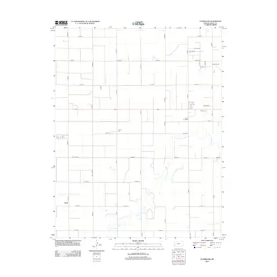
2012 Map of Ulysses SW
USGS Topo · Published 2012About this map
N Fork Cimarron River winds across this Grant County landscape, providing the primary geographical relief in an area otherwise defined by the rigorous precision of the section-line road grid. This corner of Southwest Kansas reflects a highly organized agricultural and industrial layout, where the Pioneer Co-op Spur and the settlement of Stano mark specific points of commerce and transport. The local infrastructure is further detailed by the presence of Sullivans Track and the Ulysses Airport on the northeastern edge. This survey documents the intersection of rural residential development along streets like Shadey Ln and N Easy St with the vast reaches of Kansas farmland, illustrating the persistent agricultural footprint of the High Plains in the early 21st century.
Find a feature on this map
38 named features on this map. Tap any name to fly to it.
Don’t see what you’re looking for? This feature index may not catch every label — zoom into the map to look around manually.
Map Details
Editions of this 2012 Ulysses SW Map
This is the sole edition of this map. No revisions or reprints were ever made.
Other maps of this area

1891 · Larned
USGS Topo · 1:125,000

1900 · Syracuse
USGS Topo · 1:125,000

1900 · Lakin
USGS Topo · 1:125,000

1920 · Syracuse
USGS Topo · 1:125,000

1955 · Dodge City
USGS Topo · 1:250,000

1958 · Dodge City
USGS Topo · 1:250,000

1959 · Dodge City
USGS Topo · 1:250,000

1959 · Ulysses NW
USGS Topo · 1:24,000

1959 · Big Bow NE
USGS Topo · 1:24,000

1959 · Ulysses
USGS Topo · 1:24,000