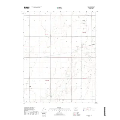
2018 Map of Ulysses SW
USGS Topo · Published 2018About this map
Ulysses and the neighboring settlement of Stano anchor this southwestern Kansas landscape, defined by the winding course of the N Fork Cimarron River. The terrain reflects the High Plains' characteristic grid-based development, with residential streets like Navillus St and Westview Ave expanding the municipal footprint. The Ulysses Airport serves as a critical local hub on the northern edge of town, while a dense network of section-line roads, including Co Rd 10 and Co Rd 15, provides access to the surrounding agricultural tracts. The river's path creates the only significant breaks in the geometric landscape, carving through sections of the T28S and T29S townships and highlighting the vital relationship between water resources and settlement in Grant County.
Find a feature on this map
25 named features on this map. Tap any name to fly to it.
Don’t see what you’re looking for? This feature index may not catch every label — zoom into the map to look around manually.
Map Details
Editions of this 2018 Ulysses SW Map
This is the sole edition of this map. No revisions or reprints were ever made.
Other maps of this area

1891 · Larned
USGS Topo · 1:125,000

1900 · Syracuse
USGS Topo · 1:125,000

1900 · Lakin
USGS Topo · 1:125,000

1920 · Syracuse
USGS Topo · 1:125,000

1955 · Dodge City
USGS Topo · 1:250,000

1958 · Dodge City
USGS Topo · 1:250,000

1959 · Dodge City
USGS Topo · 1:250,000

1959 · Ulysses NW
USGS Topo · 1:24,000

1959 · Big Bow NE
USGS Topo · 1:24,000

1959 · Ulysses
USGS Topo · 1:24,000