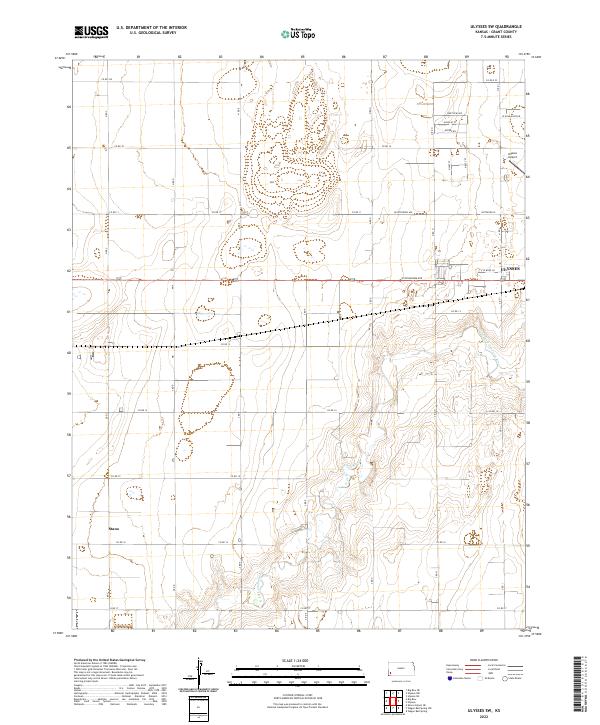
2022 Map of Ulysses SW
USGS Topo · Published 2022About this map
Stano and the southwestern outskirts of Ulysses anchor this high plains landscape in Grant County, where the topography is defined by the winding course of the N Fork Cimarron River. The map illustrates a transition from the structured residential grid of Ulysses, featuring streets like W Oklahoma Ave and Westview Ave, to the expansive section-line road system that characterizes the Kansas prairie. The proximity of the Ulysses Airport on the northeastern edge of the sheet marks the modern connectivity of this rural region. Down in the river valley, the terrain becomes more irregular, contrasting sharply with the flat agricultural tracts partitioned by routes such as Co Rd 13 and Co Rd 15. This survey provides a clear view of the modern infrastructure and drainage patterns south of the county seat.
Find a feature on this map
25 named features on this map. Tap any name to fly to it.
Don’t see what you’re looking for? This feature index may not catch every label — zoom into the map to look around manually.
Map Details
Editions of this 2022 Ulysses SW Map
This is the sole edition of this map. No revisions or reprints were ever made.
Other maps of this area

1891 · Larned
USGS Topo · 1:125,000

1900 · Syracuse
USGS Topo · 1:125,000

1900 · Lakin
USGS Topo · 1:125,000

1920 · Syracuse
USGS Topo · 1:125,000

1955 · Dodge City
USGS Topo · 1:250,000

1958 · Dodge City
USGS Topo · 1:250,000

1959 · Dodge City
USGS Topo · 1:250,000

1959 · Ulysses NW
USGS Topo · 1:24,000

1959 · Big Bow NE
USGS Topo · 1:24,000

1959 · Ulysses
USGS Topo · 1:24,000