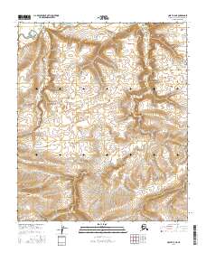
2016 Map of Umiat A-5 NE
USGS Topo · Published 2016About this map
Fossil Creek serves as the primary drainage through this northern Alaskan landscape, carving a path through the rolling terrain of the North Slope. The area is defined by the Public Land Survey System grids of t2s r3w, t2s r2w, t3s r3w, t3s r2w, t4s r3w, and t4s r2w, which establish the legal framework for this remote territory. The topography reveals a series of distinct ridgelines and upland plateaus separated by the intricate network of the Fossil Creek watershed. These elevation patterns suggest a landscape largely untouched by modern development, where the natural contours of the tundra remain the dominant feature. The map provides a precise record of the physical geography of the North Slope Borough, documenting the land forms before any potential shifts in infrastructure or resource management.
Find a feature on this map
7 named features on this map. Tap any name to fly to it.
Don’t see what you’re looking for? This feature index may not catch every label — zoom into the map to look around manually.
Map Details
Editions of this 2016 Umiat A-5 NE Map
This is the sole edition of this map. No revisions or reprints were ever made.
Other maps of this area

1952 · Umiat
USGS Topo · 1:250,000

1955 · Umiat B-4
USGS Topo · 1:63,360

1955 · Umiat A-4
USGS Topo · 1:63,360

1955 · Umiat A-5
USGS Topo · 1:63,360

1955 · Umiat B-5
USGS Topo · 1:63,360

1956 · Umiat
USGS Topo · 1:250,000

1964 · Umiat
USGS Topo · 1:250,000
2016 · Umiat B-5 SW
USGS Topo · 1:25,000
2016 · Umiat A-4 NW
USGS Topo · 1:25,000
2016 · Umiat A-4 SW
USGS Topo · 1:25,000