
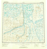
1956 Map of Umiat
USGS Topo · Published 1962About this map
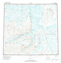
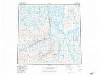
Umiat sits at a strategic bend in the Colville River, serving as a vital outpost in the Arctic wilderness during the mid-1950s. This territory is defined by the sprawling Naval Petroleum Reserve No 4, reflecting the era's focus on national energy security and exploration. The landscape is a complex network of meandering waterways, including the Anaktuvuk River and Chandler River, which carve through the tundra alongside prominent landforms like Umiat Mountain and Sentinel Hill.
Find a feature on this map
43 named features on this map. Tap any name to fly to it.
Don’t see what you’re looking for? This feature index may not catch every label — zoom into the map to look around manually.
Map Details
Editions of this 1956 Umiat Map
4 editions found
Other maps of this area

1951 · Harrison Bay
USGS Topo · 1:250,000

1951 · Beechey Point
USGS Topo · 1:250,000

1951 · Sagavanirktok D-5
USGS Topo · 1:250,000

1951 · Teshekpuk
USGS Topo · 1:250,000

1951 · Ikpikpuk River
USGS Topo · 1:250,000

1951 · Chandler Lake
USGS Topo · 1:250,000

1951 · Brooks
USGS Topo · 1:250,000

1951 · Killik River
USGS Topo · 1:250,000

1952 · Umiat
USGS Topo · 1:250,000

1955 · Harrison Bay
USGS Topo · 1:250,000