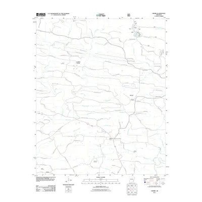
2011 Map of Umpire
USGS Topo · Published 2011About this map
Umpire serves as the focal point of this southwestern Arkansas landscape, where the Umpire Post Office and several rural roads converge. The topography is defined by the winding course of the Saline River and its numerous tributaries, including White Oak Creek, Harris Creek, and Moore Creek. A high concentration of burial grounds, such as Cedar Hill Cemetery, Union Cemetery, and Mineola Cemetery, points to a long-established community and offers valuable data for family history researchers.
Find a feature on this map
95 named features on this map. Tap any name to fly to it.
Don’t see what you’re looking for? This feature index may not catch every label — zoom into the map to look around manually.
Map Details
Editions of this 2011 Umpire Map
This is the sole edition of this map. No revisions or reprints were ever made.
Other maps of this area

1906 · Caddo Gap
USGS Topo · 1:125,000

1913 · De Queen
USGS Topo · 1:125,000

1936 · Athens
USGS Topo · 1:48,000

1942 · Athens
USGS Topo · 1:62,500

1950 · Mcalester
USGS Topo · 1:250,000

1955 · Little Rock
USGS Topo · 1:250,000

1956 · Little Rock
USGS Topo · 1:250,000

1959 · Umpire
USGS Topo · 1:62,500

1960 · Little Rock
USGS Topo · 1:250,000

1962 · McAlester
USGS Topo · 1:250,000