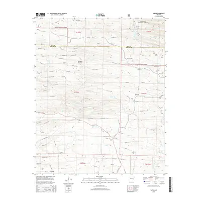
2014 Map of Umpire
USGS Topo · Published 2014About this map
The settlement of Umpire sits at the intersection of local routes in Howard County, serving as a central point for the surrounding rural communities. To the north, the terrain transitions into the Ouachita National Forest, where Shady Lake and the upper reaches of the N Fork Saline River provide a stark contrast to the timbered tracts and small-scale agriculture found further south. The landscape is heavily marked by a dense network of forestry roads, including numerous Weyco Road segments that crisscross the timberlands between Faulkner Springs and Mineola.
Find a feature on this map
111 named features on this map. Tap any name to fly to it.
Don’t see what you’re looking for? This feature index may not catch every label — zoom into the map to look around manually.
Map Details
Editions of this 2014 Umpire Map
This is the sole edition of this map. No revisions or reprints were ever made.
Other maps of this area

1906 · Caddo Gap
USGS Topo · 1:125,000

1913 · De Queen
USGS Topo · 1:125,000

1936 · Athens
USGS Topo · 1:48,000

1942 · Athens
USGS Topo · 1:62,500

1950 · Mcalester
USGS Topo · 1:250,000

1955 · Little Rock
USGS Topo · 1:250,000

1956 · Little Rock
USGS Topo · 1:250,000

1959 · Umpire
USGS Topo · 1:62,500

1960 · Little Rock
USGS Topo · 1:250,000

1962 · McAlester
USGS Topo · 1:250,000