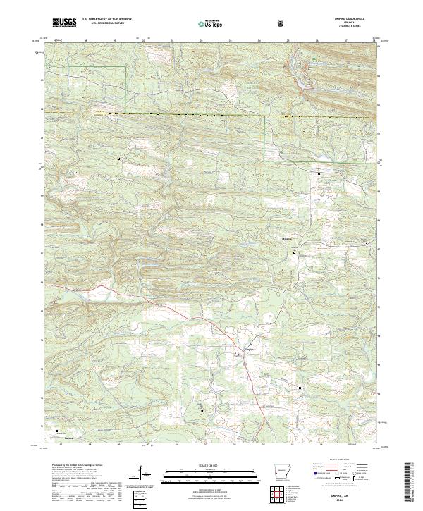
2024 Map of Umpire
USGS Topo · Published 2024About this map
Umpire serves as a focal point in this portion of Howard County, where the southern foothills of the Cossatot Mountains meet a complex network of timber access roads and river systems. The landscape is defined by the winding paths of the Saline River and its tributaries, including the South Fork Saline River and Harris Creek. This 2024 map illustrates a region deeply connected to the Ouachita National Forest and the Caney Creek Wilderness, highlighting the persistent rural character of southwest Arkansas. Small community clusters like Mineola and Galena are documented alongside numerous family and church burial grounds such as Mineola Cem, Union Cem, and Cedar Hill Cem. The extensive network of Weyco roads indicates the area's contemporary reliance on industrial forestry, while the scattered cemeteries provide a genealogical trail for families rooted in the Arkansas timberlands.
Find a feature on this map
145 named features on this map. Tap any name to fly to it.
Don’t see what you’re looking for? This feature index may not catch every label — zoom into the map to look around manually.
Map Details
Editions of this 2024 Umpire Map
This is the sole edition of this map. No revisions or reprints were ever made.
Other maps of this area

1906 · Caddo Gap
USGS Topo · 1:125,000

1913 · De Queen
USGS Topo · 1:125,000

1936 · Athens
USGS Topo · 1:48,000

1942 · Athens
USGS Topo · 1:62,500

1950 · Mcalester
USGS Topo · 1:250,000

1955 · Little Rock
USGS Topo · 1:250,000

1956 · Little Rock
USGS Topo · 1:250,000

1959 · Umpire
USGS Topo · 1:62,500

1960 · Little Rock
USGS Topo · 1:250,000

1962 · McAlester
USGS Topo · 1:250,000