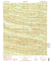
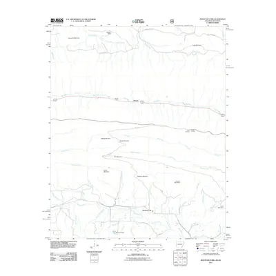
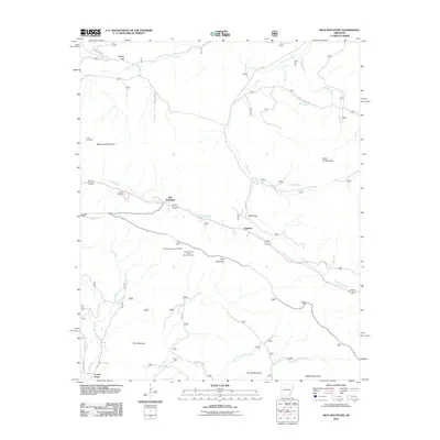
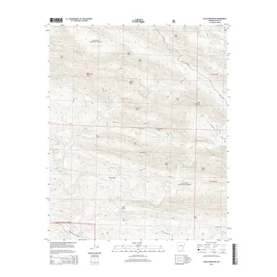
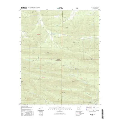
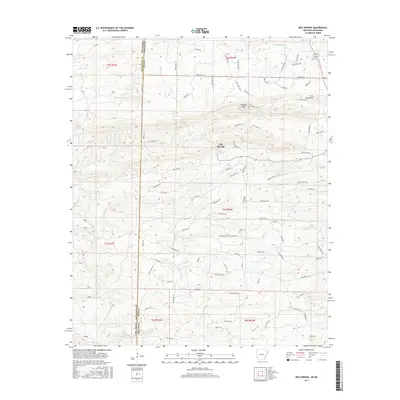
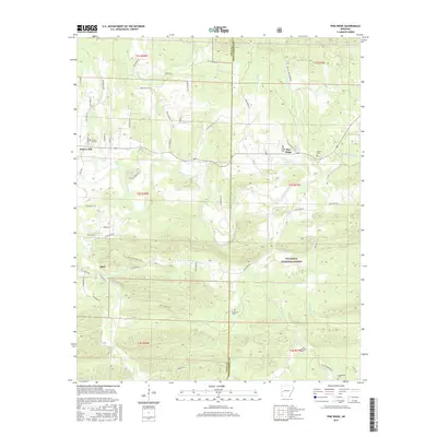
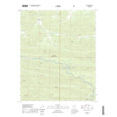
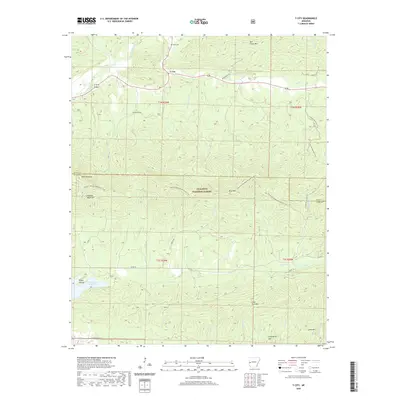
1959 Map of Umpire
USGS Topo · Published 1967About this map
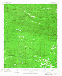
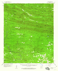
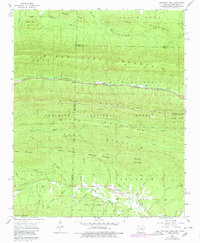
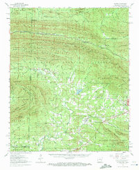
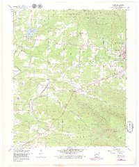
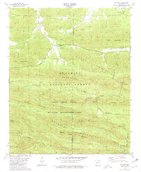
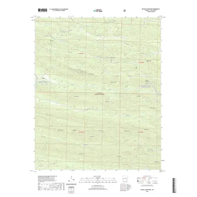
The Hanna Range and Porter Mountain dominate this mid-century survey of the Arkansas timberlands, where the Ouachita National Forest blankets the high ridges of the interior. Small settlements like Umpire and Mineola are linked by winding roads through the southern valleys, while the Cossatot River and its many tributaries, including Baker Creek and Harris Creek, carve through the complex topography. Evidence of local industry and rural life appears in the numerous scattered Mines and small country landmarks. For the family historian, the map preserves the exact locations of several local burial grounds such as Duckett Cem, Union Cem, and Saline Cem, along with community anchors like Midway Ch and Center Ch near the Polk and Howard County line.
Find a feature on this map
106 named features on this map. Tap any name to fly to it.
Don’t see what you’re looking for? This feature index may not catch every label — zoom into the map to look around manually.
Map Details
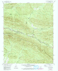
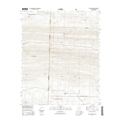
Editions of this 1959 Umpire Map
3 editions found
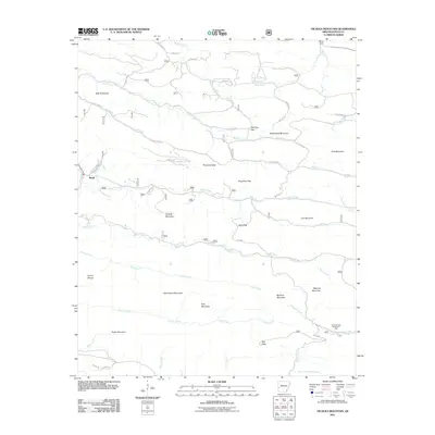
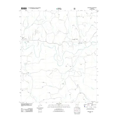
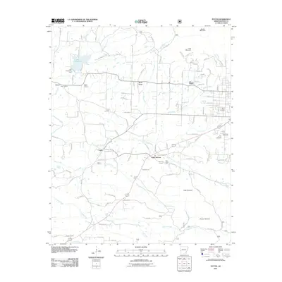
Historical Maps of Hartley Through Time
56 maps found
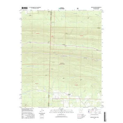
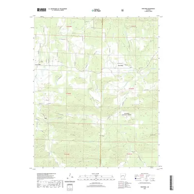
1958 Mountain Fork
Polk County, AR
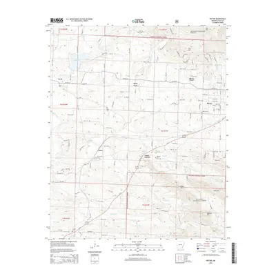
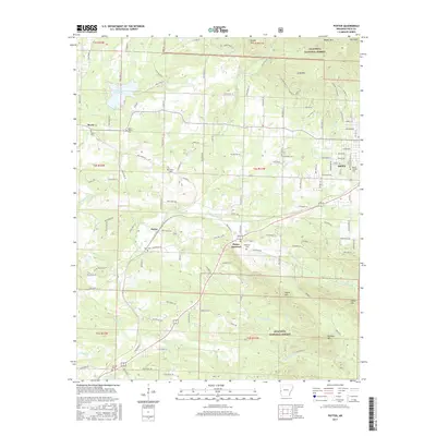
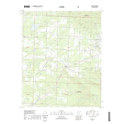
1958 Potter
Polk County, AR
1958 Potter
Polk County, AR
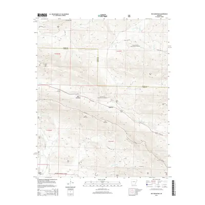
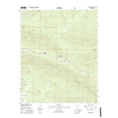
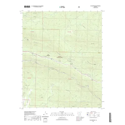
1958 Rich Mountain
Polk County, AR
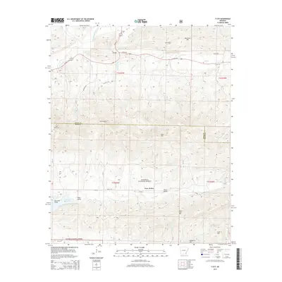
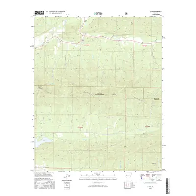
1958 Y City
Polk County, AR
1959 Umpire
Polk County, AR
1980 Big Fork
Polk County, AR
1985 Bog Springs
Polk County, AR
1985 Pine Ridge
Polk County, AR
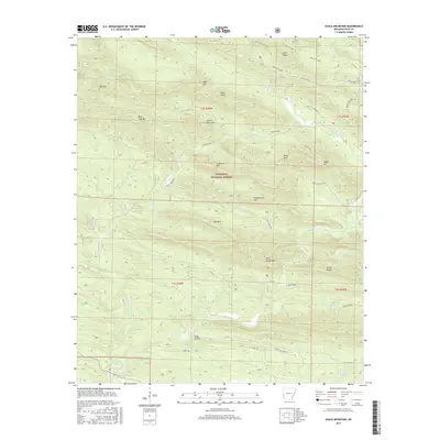
1986 Eagle Mountain
Polk County, AR
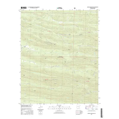
1986 Nichols Mountain
Polk County, AR
2011 Big Fork
Polk County, AR
2011 Bog Springs
Polk County, AR
2011 Eagle Mountain
Polk County, AR
2011 Mountain Fork
Polk County, AR
2011 Nichols Mountain
Polk County, AR
2011 Pine Ridge
Polk County, AR
2011 Potter
Polk County, AR
2011 Rich Mountain
Polk County, AR
2011 Y City
Polk County, AR
2014 Big Fork
Polk County, AR
2014 Bog Springs
Polk County, AR
2014 Eagle Mountain
Polk County, AR
2014 Mountain Fork
Polk County, AR
2014 Nichols Mountain
Polk County, AR
2014 Pine Ridge
Polk County, AR
2014 Potter
Polk County, AR
2014 Rich Mountain
Polk County, AR
2014 Y City
Polk County, AR
2017 Big Fork
Polk County, AR
2017 Bog Springs
Polk County, AR
2017 Eagle Mountain
Polk County, AR
2017 Mountain Fork
Polk County, AR
2017 Nichols Mountain
Polk County, AR
2017 Pine Ridge
Polk County, AR
2017 Potter
Polk County, AR
2017 Rich Mountain
Polk County, AR
2017 Y City
Polk County, AR
2020 Big Fork
Polk County, AR
2020 Bog Springs
Polk County, AR
2020 Eagle Mountain
Polk County, AR
2020 Mountain Fork
Polk County, AR
2020 Nichols Mountain
Polk County, AR
2020 Pine Ridge
Polk County, AR
2020 Potter
Polk County, AR
2020 Rich Mountain
Polk County, AR
2020 Y City
Polk County, AR
2024 Big Fork
Polk County, AR
2024 Bog Springs
Polk County, AR
2024 Eagle Mountain
Polk County, AR
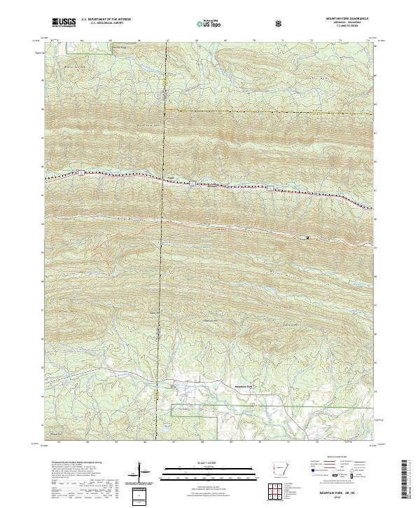
2024 Mountain Fork
Polk County, AR
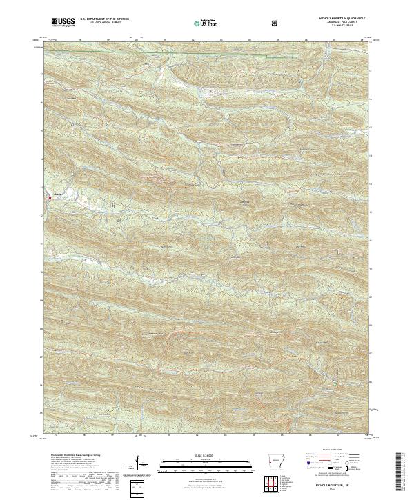
2024 Nichols Mountain
Polk County, AR
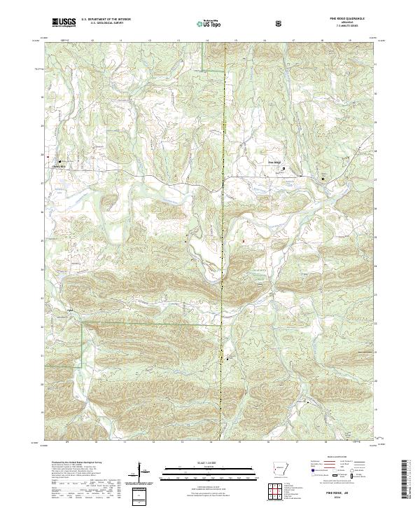
2024 Pine Ridge
Polk County, AR
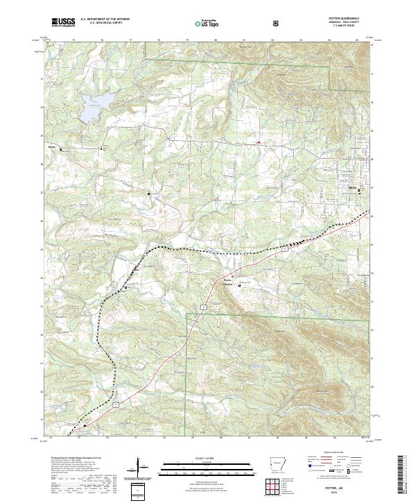
2024 Potter
Polk County, AR
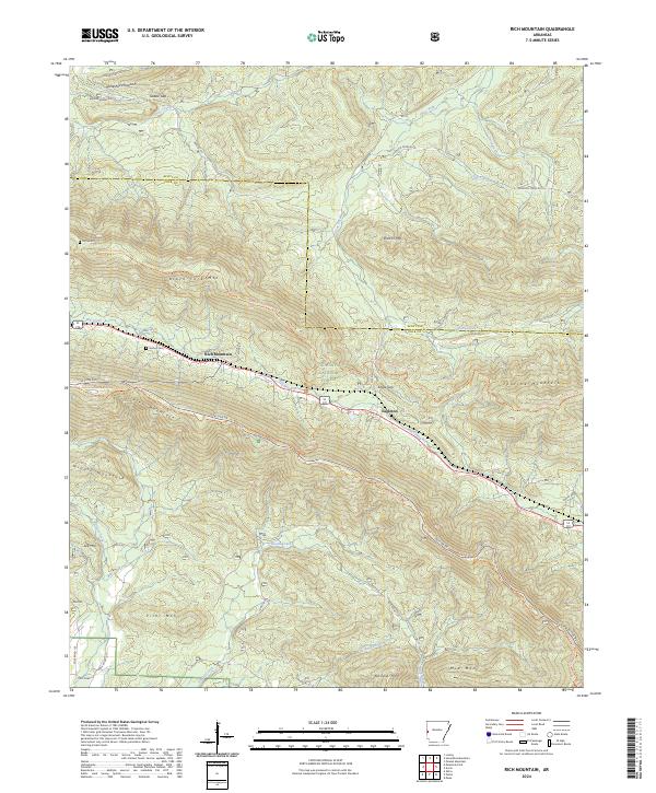
2024 Rich Mountain
Polk County, AR
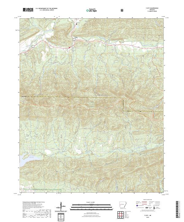
2024 Y City
Polk County, AR