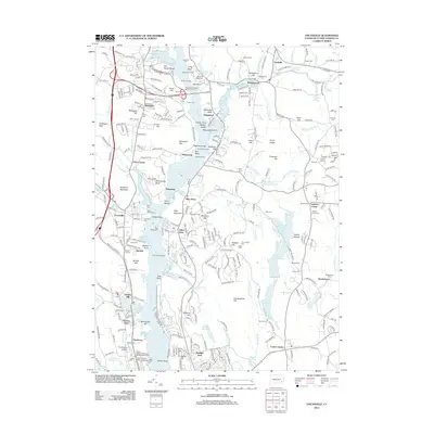
2012 Map of Uncasville
USGS Topo · Published 2012About this map
The Thames River corridor dominates this New London County landscape, serving as a historic arterial waterway between Uncasville and Gales Ferry. The map documents a rich layer of indigenous and colonial heritage, most notably at the Fort Shantok Indian Burying Ground near Crow Hill. Along the riverbanks, the presence of the Yale Boathouse and Harvard Boathouse underscores the long-standing tradition of collegiate rowing on these waters.
Find a feature on this map
298 named features on this map. Tap any name to fly to it.
Don’t see what you’re looking for? This feature index may not catch every label — zoom into the map to look around manually.
Map Details
Editions of this 2012 Uncasville Map
This is the sole edition of this map. No revisions or reprints were ever made.
Other maps of this area

1889 · Stonington
USGS Topo · 1:62,500

1889 · Moosup
USGS Topo · 1:62,500

1892 · New London
USGS Topo · 1:62,500

1892 · Norwich
USGS Topo · 1:62,500

1893 · Moosup
USGS Topo · 1:62,500

1893 · Stonington
USGS Topo · 1:62,500

1893 · New London
USGS Topo · 1:62,500

1920 · Moosup
USGS Topo · 1:62,500

1921 · New London
USGS Topo · 1:62,500

1921 · Stonington
USGS Topo · 1:62,500