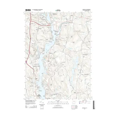
2015 Map of Uncasville
USGS Topo · Published 2015About this map
The Thames River corridor dominates this landscape between Norwich and New London, serving as a central artery for transportation and historical settlement. Along its western bank, the New England Central RR tracks trace the river's edge, passing through villages such as Uncasville, Mohegan, and Montville. The map documents a significant concentration of burial sites and cultural landmarks, including the Fort Shantok Indian Burying Ground near Brewster Neck and the Captain Hopley Yeaton Memorial at the southern edge near Connecticut Coll.
Find a feature on this map
251 named features on this map. Tap any name to fly to it.
Don’t see what you’re looking for? This feature index may not catch every label — zoom into the map to look around manually.
Map Details
Editions of this 2015 Uncasville Map
This is the sole edition of this map. No revisions or reprints were ever made.
Other maps of this area

1889 · Stonington
USGS Topo · 1:62,500

1889 · Moosup
USGS Topo · 1:62,500

1892 · New London
USGS Topo · 1:62,500

1892 · Norwich
USGS Topo · 1:62,500

1893 · Moosup
USGS Topo · 1:62,500

1893 · Stonington
USGS Topo · 1:62,500

1893 · New London
USGS Topo · 1:62,500

1920 · Moosup
USGS Topo · 1:62,500

1921 · New London
USGS Topo · 1:62,500

1921 · Stonington
USGS Topo · 1:62,500