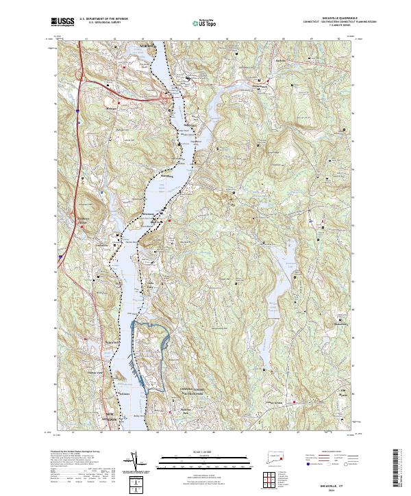
2024 Map of Uncasville
USGS Topo · Published 2024About this map
The Thames River corridor serves as the primary artery for this portion of New London County, connecting the deep-water facilities of the Naval Submarine Base New London to the historic landing at Gales Ferry. The landscape is deeply tied to its Indigenous and early colonial history, preserved through sites like the Indian Burying Ground, Shantok Burial Ground, and Ashbow Burial Ground. These landmarks, along with the Fort Shantok area, reflect a heritage that precedes the industrial and military developments of the modern era.
Find a feature on this map
204 named features on this map. Tap any name to fly to it.
Don’t see what you’re looking for? This feature index may not catch every label — zoom into the map to look around manually.
Map Details
Editions of this 2024 Uncasville Map
This is the sole edition of this map. No revisions or reprints were ever made.
Other maps of this area

1889 · Stonington
USGS Topo · 1:62,500

1889 · Moosup
USGS Topo · 1:62,500

1892 · New London
USGS Topo · 1:62,500

1892 · Norwich
USGS Topo · 1:62,500

1893 · Moosup
USGS Topo · 1:62,500

1893 · Stonington
USGS Topo · 1:62,500

1893 · New London
USGS Topo · 1:62,500

1920 · Moosup
USGS Topo · 1:62,500

1921 · New London
USGS Topo · 1:62,500

1921 · Stonington
USGS Topo · 1:62,500