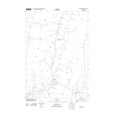
2012 Map of Underhill
USGS Topo · Published 2012About this map
Underhill and its surrounding hill country serve as the focal point for this Vermont landscape, where the Browns River and tributary streams like Roaring Brook and Abbey Brook carve through the terrain. The community structure is defined by distinct nodes such as Riverside, Cloverdale, and Underhill Center, the latter situated near Saint Thomas Cem and Sand Hill Cem along the banks of Clay Brook. This modern record reveals a landscape deeply connected to its past through numerous burial grounds, including the Irish Settlement Cem and Osgood Hill Cem, which sit among high points like Metcalf Hill and Hedgehog Hill. Aviation history is present at the Davis Private Airport, while recreation is noted at the South Hill Riverside Campground, illustrating the mix of residential growth and rural preservation in the Green Mountain State.
Find a feature on this map
121 named features on this map. Tap any name to fly to it.
Don’t see what you’re looking for? This feature index may not catch every label — zoom into the map to look around manually.
Map Details
Editions of this 2012 Underhill Map
This is the sole edition of this map. No revisions or reprints were ever made.
Other maps of this area

1906 · Burlington
USGS Topo · 1:62,500

1913 · Milton
USGS Topo · 1:48,000

1915 · Milton
USGS Topo · 1:62,500

1919 · Burlington
USGS Topo · 1:62,500

1921 · Richmond
USGS Topo · 1:48,000

1924 · Camels Hump
USGS Topo · 1:62,500

1925 · Mount Mansfield
USGS Topo · 1:48,000

1927 · Mount Mansfield
USGS Topo · 1:62,500

1944 · Milton
USGS Topo · 1:62,500

1944 · Mount Mansfield
USGS Topo · 1:62,500