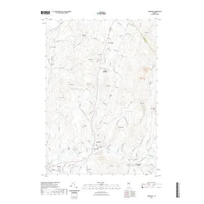
2021 Map of Underhill
USGS Topo · Published 2021About this map
Underhill and its neighboring villages of Riverside and Underhill Center anchor this modern landscape at the foot of the Green Mountains. The area is defined by its deep agricultural and social roots, evidenced by a high density of small burial grounds such as the Irish Settlement Cem, Castle Cem, and Sand Hill Cem. These sites, scattered across the slopes of Hedgehog Hill and Metcalf Hill, provide a direct connection to the family lineages that settled the rugged valleys of Chittenden Co and Lamoille Co.
Find a feature on this map
114 named features on this map. Tap any name to fly to it.
Don’t see what you’re looking for? This feature index may not catch every label — zoom into the map to look around manually.
Map Details
Editions of this 2021 Underhill Map
This is the sole edition of this map. No revisions or reprints were ever made.
Other maps of this area

1906 · Burlington
USGS Topo · 1:62,500

1913 · Milton
USGS Topo · 1:48,000

1915 · Milton
USGS Topo · 1:62,500

1919 · Burlington
USGS Topo · 1:62,500

1921 · Richmond
USGS Topo · 1:48,000

1924 · Camels Hump
USGS Topo · 1:62,500

1925 · Mount Mansfield
USGS Topo · 1:48,000

1927 · Mount Mansfield
USGS Topo · 1:62,500

1944 · Milton
USGS Topo · 1:62,500

1944 · Mount Mansfield
USGS Topo · 1:62,500