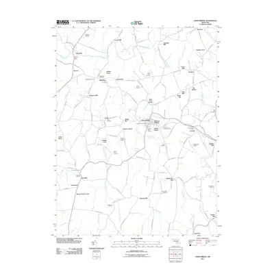
2011 Map of Union Bridge
USGS Topo · Published 2011About this map
Union Bridge serves as the central hub of this agricultural landscape in northern Maryland, where the terrain is defined by the winding paths of Big Pipe Creek and Little Pipe Creek. The area maintains a high density of small settlements and named landmarks that reflect a long history of milling and rural community life, evidenced by locations like Crouse Mill and Otterdale Mill. Local genealogy is well-documented through numerous burial grounds such as the Pipe Creek Friends Cemetery and German Baptist Cemetery, alongside traditional community centers like Middleburg and Johnsville. The presence of the MRP Airpark near Middleburg and residential clusters like Bellevue Heights show the modern evolution of these historic crossroads. Waterways like Sams Creek and Beaver Dam Creek continue to dictate the placement of local roads and property lines as they have for generations.
Find a feature on this map
119 named features on this map. Tap any name to fly to it.
Don’t see what you’re looking for? This feature index may not catch every label — zoom into the map to look around manually.
Map Details
Editions of this 2011 Union Bridge Map
This is the sole edition of this map. No revisions or reprints were ever made.
Other maps of this area

1893 · Frederick
USGS Topo · 1:125,000

1894 · Frederick
USGS Topo · 1:125,000

1908 · Ijamsville
USGS Topo · 1:62,500

1909 · Mount Airy
USGS Topo · 1:62,500

1909 · Ijamsville
USGS Topo · 1:62,500

1911 · Taneytown
USGS Topo · 1:62,500

1911 · Emmitsburg
USGS Topo · 1:62,500

1942 · Frederick
USGS Topo · 1:62,500

1942 · Gettysburg
USGS Topo · 1:125,000

1943 · Emmitsburg
USGS Topo · 1:62,500