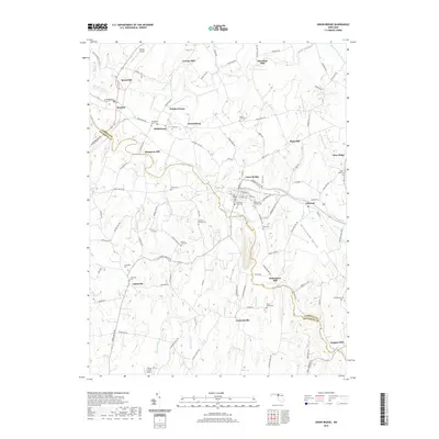
2019 Map of Union Bridge
USGS Topo · Published 2019About this map
The town of Union Bridge and its surrounding countryside reflect a heritage of milling and early Maryland settlement along the Carroll Co Frederick Co border. This area is defined by the winding course of Little Pipe Cr and Big Pipe Creek, which historically powered local industry at sites like McKinstrys Mill, Crouse Mill, and Simpsons Mill. The rural landscape is dotted with small communities including Middleburg, Keymar, and Johnsville, each maintaining its own local character and deep roots visible through numerous family and congregational burial grounds such as Pipe Creek Friends Cem and the German Baptist Cem. To the east, the Priestland Valley opens up between Bark Hill and Linwood, while aviation interest is represented by Keymar Airpark and the Flying H Farm Airport in the south.
Find a feature on this map
111 named features on this map. Tap any name to fly to it.
Don’t see what you’re looking for? This feature index may not catch every label — zoom into the map to look around manually.
Map Details
Editions of this 2019 Union Bridge Map
This is the sole edition of this map. No revisions or reprints were ever made.
Other maps of this area

1893 · Frederick
USGS Topo · 1:125,000

1894 · Frederick
USGS Topo · 1:125,000

1908 · Ijamsville
USGS Topo · 1:62,500

1909 · Mount Airy
USGS Topo · 1:62,500

1909 · Ijamsville
USGS Topo · 1:62,500

1911 · Taneytown
USGS Topo · 1:62,500

1911 · Emmitsburg
USGS Topo · 1:62,500

1942 · Frederick
USGS Topo · 1:62,500

1942 · Gettysburg
USGS Topo · 1:125,000

1943 · Emmitsburg
USGS Topo · 1:62,500