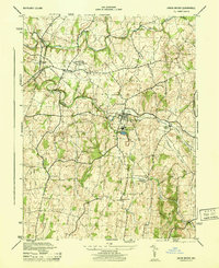
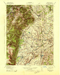
1944 Map of Union Bridge
USGS Topo · Published 1944About this map
Union Bridge serves as the industrial and social anchor of this mid-1940s landscape, dominated by the significant footprint of the Lehigh Portland Cement Company. The town sits at a vital transportation nexus where the Pennsylvania and Western Maryland railroads intersect, facilitating the movement of local goods and industrial output. Education is centered at the Elmer Wolfe High School, which occupies a prominent position overlooking the town's residential grid.
Find a feature on this map
33 named features on this map. Tap any name to fly to it.
Don’t see what you’re looking for? This feature index may not catch every label — zoom into the map to look around manually.
Map Details
Editions of this 1944 Union Bridge Map
This is the sole edition of this map. No revisions or reprints were ever made.
Other maps of this area

1893 · Frederick
USGS Topo · 1:125,000

1894 · Frederick
USGS Topo · 1:125,000

1908 · Ijamsville
USGS Topo · 1:62,500
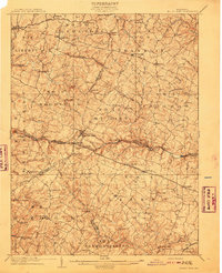
1909 · Mount Airy
USGS Topo · 1:62,500

1909 · Ijamsville
USGS Topo · 1:62,500

1911 · Taneytown
USGS Topo · 1:62,500
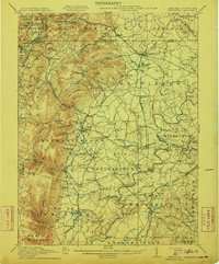
1911 · Emmitsburg
USGS Topo · 1:62,500
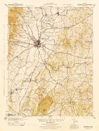
1942 · Frederick
USGS Topo · 1:62,500

1942 · Gettysburg
USGS Topo · 1:125,000
1943 · Emmitsburg
USGS Topo · 1:62,500