Loading...
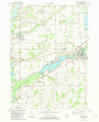
Loading map...1982 Map of Union City
USGS Topo · Published 1982About this map
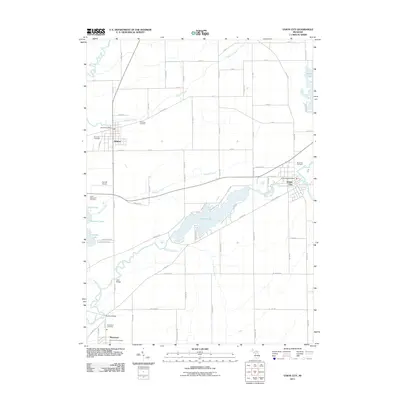
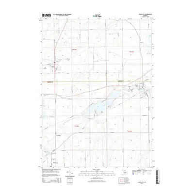
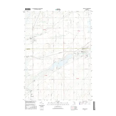
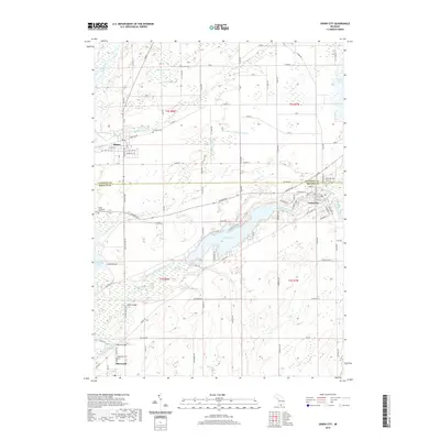
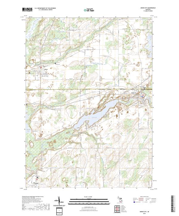
The St Joseph River and the Coldwater River converge near the village of Union City, which serves as a focal point in this south-central Michigan landscape. The presence of the Union City Dam and a nearby Fish Hatchery reflect the managed water resources of the early 1980s. To the west, the village of Athens sits at the intersection of several local routes, surrounded by agricultural land and small cemeteries such as Old Burg Cem and Burr Oak Cem.
Find a feature on this map
47 named features on this map. Tap any name to fly to it.
Don’t see what you’re looking for? This feature index may not catch every label — zoom into the map to look around manually.
Map Details
Date Portrayed1982
Date Published1982
PublisherU.S. Geological Survey
Map TypeTopographic
Scale1:24,000
Physical Dimensions21.9 x 26.7 inches
Editions of this 1982 Union City Map
This is the sole edition of this map. No revisions or reprints were ever made.
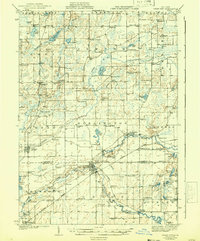
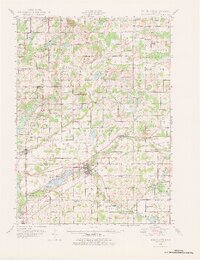
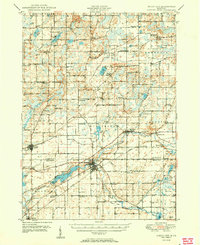
Historical Maps of Athens Through Time
9 maps found
Featured Locations
- Union Township, MI
- Athens Township, MI
- Athens, Athens Township
- Union City, Union Township
- Sherwood, Sherwood Township
Source Details
SourceU.S. Geological Survey
CopyrightPublic Domain