Loading...
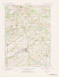
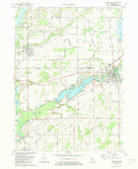
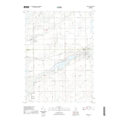
Loading map...1947 Map of Union City
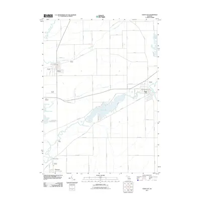
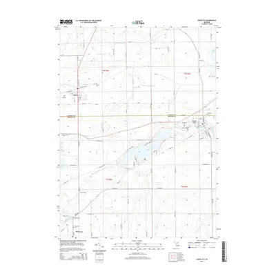
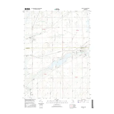
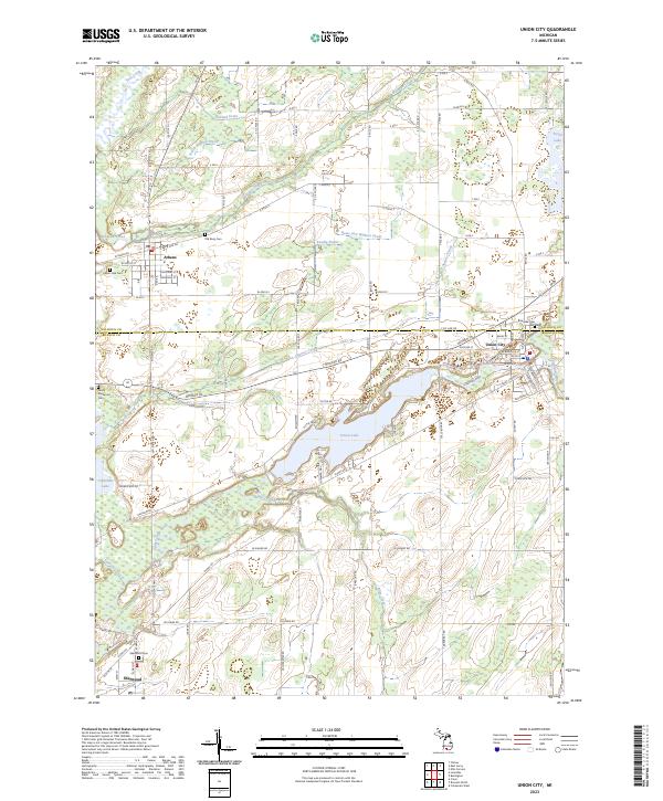
USGS Topo · Published 1978About this map
Union City serves as the focal point of this postwar landscape where the St Joseph River meets the Michigan Central Railroad. The presence of the Union City Dam on Union Lake highlights the importance of water management for local power and industry in the late 1940s. The surrounding townships of Athens, Sherwood, and Burlington are dotted with small-scale agricultural landmarks, including an exceptional number of named country schools such as the Old Red Sch, Brick Sch, and Cobblestone Sch.
Find a feature on this map
104 named features on this map. Tap any name to fly to it.
Don’t see what you’re looking for? This feature index may not catch every label — zoom into the map to look around manually.
Map Details
Date Portrayed1947
Date Published1978
PublisherU.S. Geological Survey
Map TypeTopographic
Scale1:62,500
Physical Dimensions16.98 x 22.05 inches
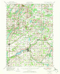
Editions of this 1947 Union City Map
2 editions found
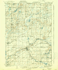
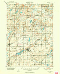
Historical Maps of Battle Creek Through Time
9 maps found
Featured Locations
- Battle Creek, MI
- Athens, Athens Township
- Girard, Girard Township
- Burlington, Burlington Township
- Sherwood, Sherwood Township
Source Details
SourceU.S. Geological Survey
CopyrightPublic Domain