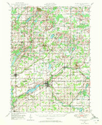
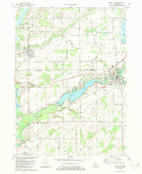
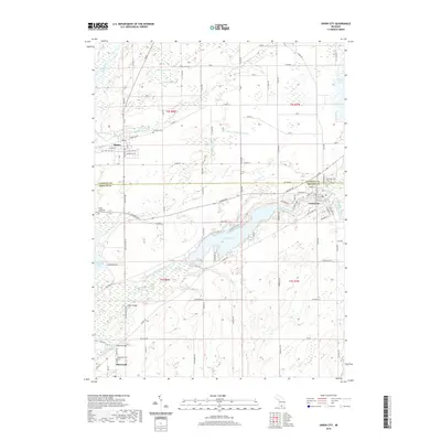
1947 Map of Union City
USGS Topo · Published 1972About this map
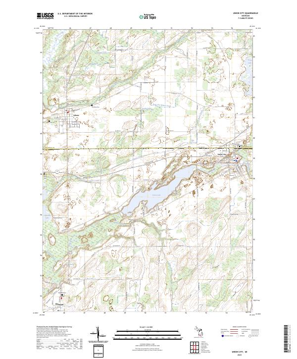
The St Joseph River and its numerous tributaries define this southern Michigan landscape as it appeared in the late 1940s. Centered on Union City, the map illustrates a region where water power and transportation converge, notably at the Union City Dam and Union Lake. The Michigan Central railroad cuts through the terrain, serving rural outposts like Burlington Sta and Athens. This post-war era view captures a dense network of country schools, including the distinctively named Old Red Sch, Abscota Sch, and Windfall Sch, many of which were the social anchors for farming families in townships like Burlington and Sherwood. Genealogists will find significant value in the clearly marked burial grounds such as Burr Oak Cem and the Lutheran Cem, alongside numerous family-named landmarks like Stanley Corners and Morgan Corners.
Find a feature on this map
105 named features on this map. Tap any name to fly to it.
Don’t see what you’re looking for? This feature index may not catch every label — zoom into the map to look around manually.
Map Details
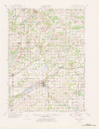
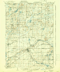
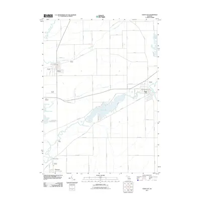
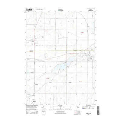
Editions of this 1947 Union City Map
2 editions found
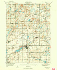
Historical Maps of Battle Creek Through Time
9 maps found
Featured Locations
- Battle Creek, MI
- Athens, Athens Township
- Girard, Girard Township
- Burlington, Burlington Township
- Sherwood, Sherwood Township