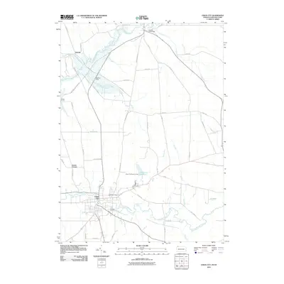
2010 Map of Union City
USGS Topo · Published 2010About this map
Union City stands as the primary hub in this southern Erie County landscape, situated at the confluence of several vital waterways including Bentley Run and the South Branch French Creek. The map documents a rural network of crossroads and small settlements, such as Arbuckle, Kimble Corners, and Carters Corners, which define the agricultural and residential character of the region. Significant infrastructure is evident in the Union City Reservoir Dam, which contains the waters of the Union City Reservoir to the northeast of the main town. Genealogists will find interest in the proximity of Evergreen Cemetery and Saint Teresa Cemetery near the heart of the community. The topography is largely shaped by the winding path of French Creek, creating expansive lowlands like French Creek Flats and Baldwin Flats, which historically influenced the placement of early farms and transport routes like Old Wattsburg Rd.
Find a feature on this map
52 named features on this map. Tap any name to fly to it.
Don’t see what you’re looking for? This feature index may not catch every label — zoom into the map to look around manually.
Map Details
Editions of this 2010 Union City Map
This is the sole edition of this map. No revisions or reprints were ever made.
Other maps of this area

1905 · Clymer
USGS Topo · 1:62,500

1913 · North East
USGS Topo · 1:62,500

1915 · North East
USGS Topo · 1:62,500

1929 · Corry
USGS Topo · 1:48,000

1929 · Union City
USGS Topo · 1:62,500

1932 · Corry
USGS Topo · 1:62,500

1932 · Union City
USGS Topo · 1:62,500

1939 · Clymer
USGS Topo · 1:62,500

1941 · Clymer
USGS Topo · 1:62,500

1943 · North East
USGS Topo · 1:62,500