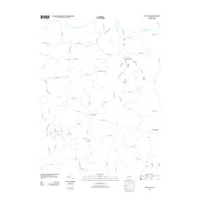
2013 Map of Union City
USGS Topo · Published 2013About this map
Doylesville and Union City anchor this Madison County landscape, where the meandering Kentucky River forms the northern boundary. The terrain is defined by a network of creeks and named ridges, including Mill Dam Hill and Cane Spring Hill. This survey captures the rural character of the region as it appeared in the early 21st century, showing a transition from the river lowlands to the higher ground near College Hill.
Find a feature on this map
74 named features on this map. Tap any name to fly to it.
Don’t see what you’re looking for? This feature index may not catch every label — zoom into the map to look around manually.
Map Details
Editions of this 2013 Union City Map
This is the sole edition of this map. No revisions or reprints were ever made.
Other maps of this area

1892 · Richmond
USGS Topo · 1:125,000

1897 · Richmond
USGS Topo · 1:125,000

1952 · Union City
USGS Topo · 1:24,000

1952 · Palmer
USGS Topo · 1:24,000

1952 · Ford
USGS Topo · 1:24,000

1952 · Winchester
USGS Topo · 1:24,000

1952 · Richmond North
USGS Topo · 1:24,000

1952 · Panola
USGS Topo · 1:24,000
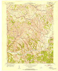
1952 · Hedges
USGS Topo · 1:24,000

1952 · Moberly
USGS Topo · 1:24,000