Loading...
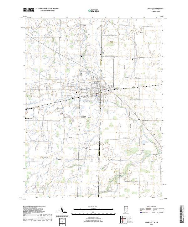
Loading map...2022 Map of Union City
USGS Topo · Published 2022About this map
Union City serves as the central hub of this agricultural and cross-border landscape, where the Indiana Ohio state line bisects the community along S State Line Rd. The surrounding countryside is defined by an intricate network of drainage and watercourses, including the Little Mississinewa River, Greenville Cr, and Dismal Cr, which supported the early development of these rural townships.
Find a feature on this map
78 named features on this map. Tap any name to fly to it.
Don’t see what you’re looking for? This feature index may not catch every label — zoom into the map to look around manually.
Map Details
Date Portrayed2022
Date Published2022
PublisherU.S. Geological Survey
Map TypeTopographic
Scale1:24000
Physical Dimensions24 x 29 inches
Editions of this 2022 Union City Map
This is the sole edition of this map. No revisions or reprints were ever made.
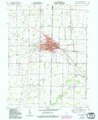
Historical Maps of Union City Through Time
Featured Locations
Source Details
SourceU.S. Geological Survey
CopyrightPublic Domain