Loading...
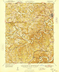
Loading map...1948 Map of Union
USGS Topo · Published 1948About this map
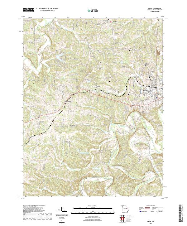
The Bourbeuse River and Meramec River carve deep, winding paths across this Franklin County landscape, shaping a region defined by its rural river-and-rail infrastructure. In the post-war era, the town of Union serves as a hub where the ST Louis San Francisco and Chicago Rock Island And Pacific railroads intersect. Local industry and early tourism are evident in features like the Old Acid Mine near the Meramec and the Benson Tourist City near Stanton.
Find a feature on this map
82 named features on this map. Tap any name to fly to it.
Don’t see what you’re looking for? This feature index may not catch every label — zoom into the map to look around manually.
Map Details
Date Portrayed1948
Date Published1948
PublisherU.S. Geological Survey
Map TypeTopographic
Scale1:62,500
Physical Dimensions16.9 x 20.9 inches
Editions of this 1948 Union Map
This is the sole edition of this map. No revisions or reprints were ever made.
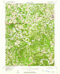
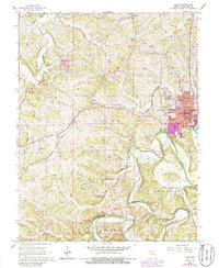
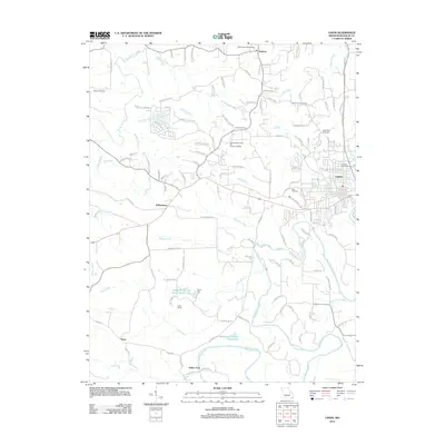
Historical Maps of Union Through Time
8 maps found

Featured Locations
Source Details
SourceU.S. Geological Survey
CopyrightPublic Domain