1980 Map of Union
USGS Topo · Published 1982About this map
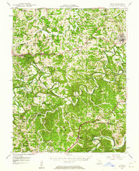
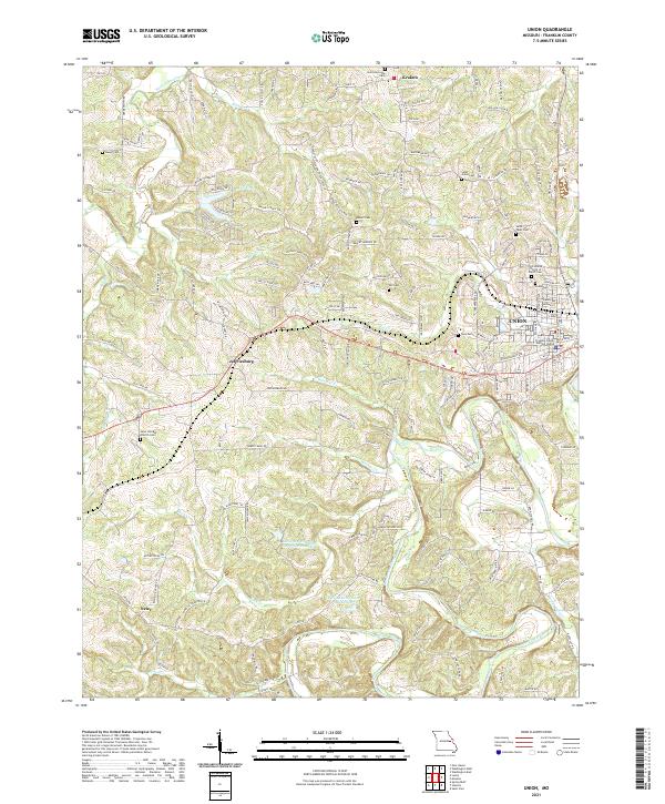
The Bourbeuse River carves a winding path through the heart of Franklin County, defining the agricultural and wooded landscape south of the county seat. This 1980 orthophotomap provides a clear aerial view of the region's rural development, where patchwork fields and timbered ridges surround established settlements like Krakow and Jefferiesburg. The imagery illustrates how local commerce and residential growth clustered near the town of Union, while more remote outposts like Neier remained tied to the land. This transition period captures the area's geography just as modern infrastructure began to weave more tightly through the traditional farmsteads and waterways like St Johns Creek. The map is particularly useful for observing property lines and land use patterns that shifted as the suburban influence of the St. Louis corridor reached further into the Missouri countryside.
Find a feature on this map
6 named features on this map. Tap any name to fly to it.
Don’t see what you’re looking for? This feature index may not catch every label — zoom into the map to look around manually.
Map Details
Editions of this 1980 Union Map
This is the sole edition of this map. No revisions or reprints were ever made.
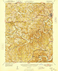
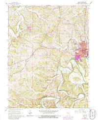
Historical Maps of Union Through Time
8 maps found