2022 Map of Union Hill
USGS Topo · Published 2022About this map
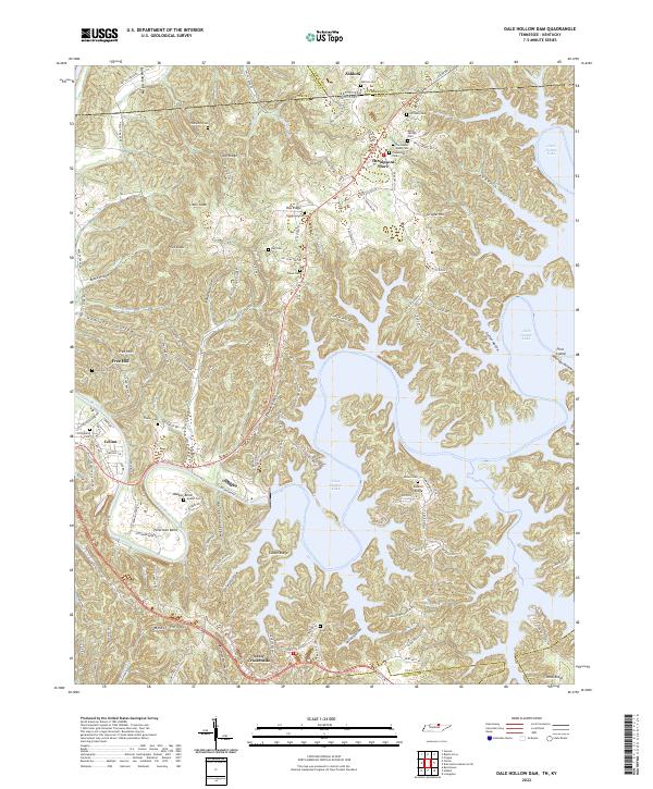
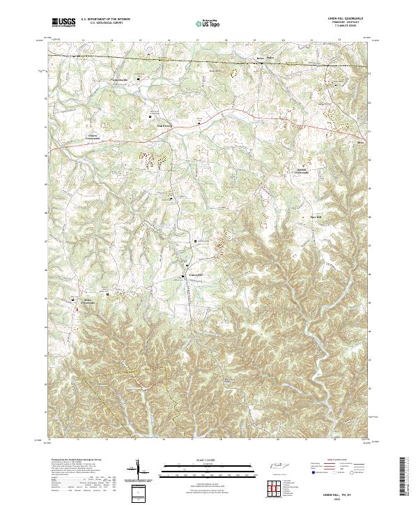
Clementsville and Oak Grove anchor the northern reaches of this borderland landscape, where the state line divides Tennessee and Kentucky. The area is defined by a dense network of ridges and hollows, most notably McCormick Ridge and Brays Knob, which steer the courses of Line Cr and Brimstone Creek. This 2022 survey details the enduring rural character of Clay County, showing established crossroads like Cherry Crossroads and Denton Crossroads. Genealogists will find an exceptional density of family-linked landmarks, including the James H Cherry Family Cem, Cherry Denton Cem, and Moore Cem. The map also traces the intricate drainage patterns of the Left Fork Brimstone Cr and Right Fork Brimstone Cr, alongside smaller water bodies such as Line-Er Lake Number Three B.
Find a feature on this map
109 named features on this map. Tap any name to fly to it.
Don’t see what you’re looking for? This feature index may not catch every label — zoom into the map to look around manually.
Map Details
Editions of this 2022 Union Hill Map
This is the sole edition of this map. No revisions or reprints were ever made.
Historical Maps of Clementsville Through Time
6 maps found