Loading...
Loading map...2023 Map of Union
USGS Topo · Published 2023About this map
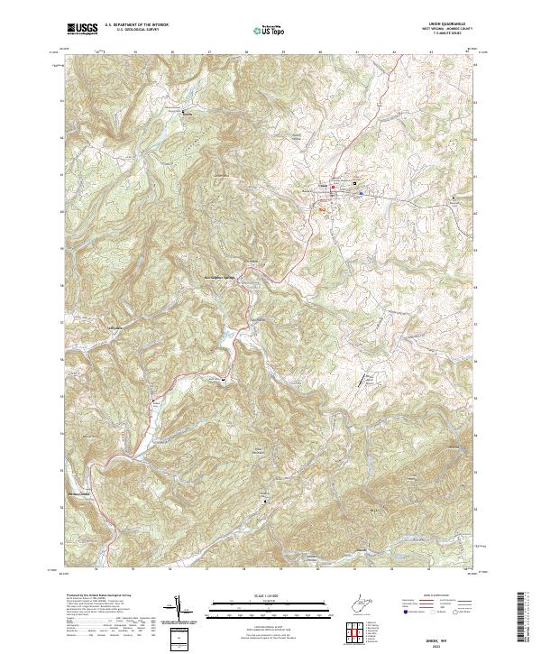
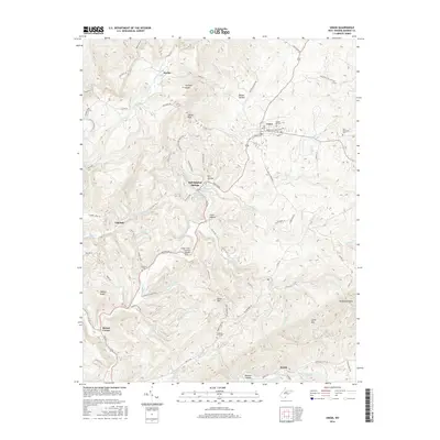
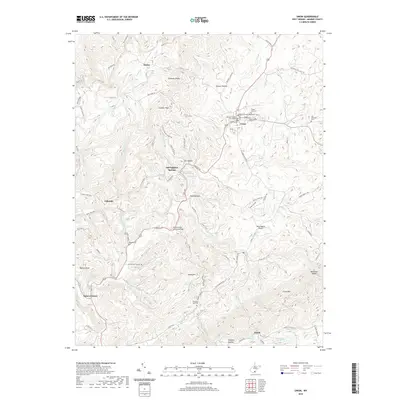
Union serves as the seat of justice for Monroe County, centered around the Monroe County Courthouse and the Monroe County Magistrate Court. The landscape is defined by the sharp elevations of Swoopes Knobs and Little Mountain, which frame a network of valley settlements including Lillydale, Zenith, and Salt Sulphur Springs. The latter site is noted for its medicinal waters, with Salt Sulphur Spring, Iodine Spring, and Sweet Sulphur Spring clustered along the highway.
Find a feature on this map
94 named features on this map. Tap any name to fly to it.
Don’t see what you’re looking for? This feature index may not catch every label — zoom into the map to look around manually.
Map Details
Date Portrayed2023
Date Published2023
PublisherU.S. Geological Survey
Map TypeTopographic
Scale1:24,000
Physical Dimensions24 x 29 inches
Editions of this 2023 Union Map
This is the sole edition of this map. No revisions or reprints were ever made.
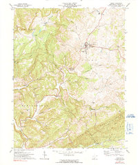
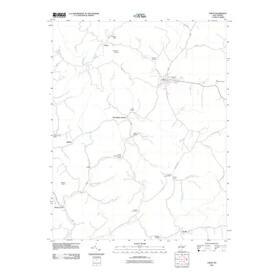
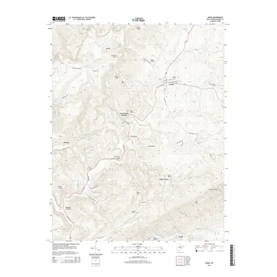
Historical Maps of Union Through Time
6 maps found
Featured Locations
Source Details
SourceU.S. Geological Survey
CopyrightPublic Domain