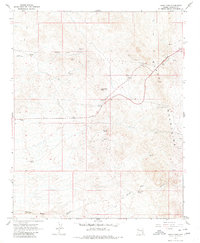
1967 Map of Union Pass
USGS Topo · Published 1980About this map
Black Mountains geology and mining history dominate this 1960s survey of the Mohave County desert. The landscape is defined by its arid complexity, with drainage systems like Katherine Wash and the deep cuts of Secret Pass Canyon illustrating the rugged hydrologic patterns of the region. Prospecting and resource extraction are clearly evidenced by the Tyro Mine in the northern reaches and the Arabian Mine further south, both situated amidst the dramatic elevations of Sugarloaf Mtn and Thumb Butte. This map also captures the critical transit route through Union Pass, a historically significant crossing for travelers navigating these peaks. Small but vital water sources such as Secret Pass Spring are marked throughout the terrain, providing a look at the essential points of interest for early settlers and miners in this remote part of Arizona near the Nevada border.
Find a feature on this map
12 named features on this map. Tap any name to fly to it.
Don’t see what you’re looking for? This feature index may not catch every label — zoom into the map to look around manually.
Map Details
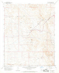
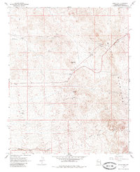
Editions of this 1967 Union Pass Map
3 editions found
Other maps of this area

1886 · Camp Mohave
USGS Topo · 1:250,000

1892 · Camp Mohave
USGS Topo · 1:250,000

1926 · Mohave City
USGS Topo · 1:96,000

1942 · Camp Mohave
USGS Topo · 1:250,000

1947 · Kingman
USGS Topo · 1:250,000

1948 · Kingman
USGS Topo · 1:250,000

1950 · Davis Dam
USGS Topo · 1:62,500

1952 · Davis Dam
USGS Topo · 1:62,500

1954 · Kingman
USGS Topo · 1:250,000

1955 · Kingman
USGS Topo · 1:250,000