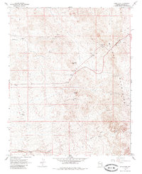
1967 Map of Union Pass
USGS Topo · Published 1985About this map
Mining operations and rugged desert terrain define this mid-century portrait of the Black Mountains in Mohave County. In the late 1960s, the landscape was a network of resource extraction and transit, anchored by the Tyro Mine and the Arabian Mine. The historic Union Pass serves as a primary corridor through the high country, where old Telephone lines and a Jeep Trail trace the movements of prospectors and surveyors.
Find a feature on this map
17 named features on this map. Tap any name to fly to it.
Don’t see what you’re looking for? This feature index may not catch every label — zoom into the map to look around manually.
Map Details
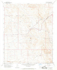
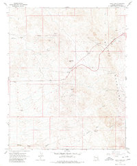
Editions of this 1967 Union Pass Map
3 editions found
Other maps of this area

1886 · Camp Mohave
USGS Topo · 1:250,000

1892 · Camp Mohave
USGS Topo · 1:250,000

1926 · Mohave City
USGS Topo · 1:96,000

1942 · Camp Mohave
USGS Topo · 1:250,000

1947 · Kingman
USGS Topo · 1:250,000

1948 · Kingman
USGS Topo · 1:250,000

1950 · Davis Dam
USGS Topo · 1:62,500

1952 · Davis Dam
USGS Topo · 1:62,500

1954 · Kingman
USGS Topo · 1:250,000

1955 · Kingman
USGS Topo · 1:250,000