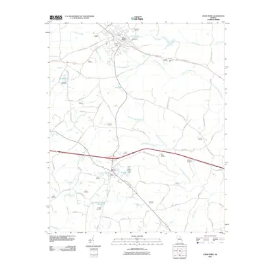
2011 Map of Union Point
USGS Topo · Published 2011About this map
Union Point and Siloam anchor this portion of Greene County, Georgia, where the landscape is defined by the headwaters of two major river forks. The North Fork Ogeechee River and South Fork Ogeechee River converge in this area, creating a network of creeks and ponds including Railroad Pond and Edmonds Lake. This 2011 survey reveals a territory dense with family and community history, evidenced by nearly twenty named burial grounds such as the Saw Dust Cemetery, Wisteria Cemetery, and King-Perkins Cemetery. The presence of the Siloam Quarry and the Union Point Post Office highlights the local industry and civic centers that supported these small towns. Notable landmarks like the Wesleyan Campground and Jefferson Hall suggest long-standing social and religious gathering points for the rural population.
Find a feature on this map
90 named features on this map. Tap any name to fly to it.
Don’t see what you’re looking for? This feature index may not catch every label — zoom into the map to look around manually.
Map Details
Editions of this 2011 Union Point Map
This is the sole edition of this map. No revisions or reprints were ever made.
Other maps of this area

1906 · Crawfordville
USGS Topo · 1:125,000

1953 · Athens
USGS Topo · 1:250,000

1958 · Athens
USGS Topo · 1:250,000

1959 · Athens
USGS Topo · 1:250,000

1963 · Athens
USGS Topo · 1:250,000

1965 · Woodville
USGS Topo · 1:24,000

1965 · Union Point
USGS Topo · 1:24,000

1966 · Philomath
USGS Topo · 1:24,000

1966 · Crawfordville
USGS Topo · 1:24,000

1972 · Penfield
USGS Topo · 1:24,000