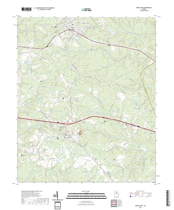
2024 Map of Union Point
USGS Topo · Published 2024About this map
Union Point serves as the primary hub in this Georgia landscape, defined by the intersection of the CSX Transportation railroad and several regional thoroughfares. The terrain is intricately carved by the North Fork Ogeechee River and South Fork Ogeechee River, creating a network of ridges and drainages that support a dense concentration of historical family and community burial grounds. From the Gaines Cem in the north to the Saw Dust Cem near White Plains, these sites offer significant data for genealogical research. The settlement of Siloam is centered near Crumpton Lake, while religious life is anchored by the New Springfield Missionary Baptist Church. Small water bodies like Railroad Pond and George Lake punctuate the landscape, reflecting the local hydrography that historically influenced the placement of farms and homesteads across the Greene Co and Taliaferro Co border.
Find a feature on this map
118 named features on this map. Tap any name to fly to it.
Don’t see what you’re looking for? This feature index may not catch every label — zoom into the map to look around manually.
Map Details
Editions of this 2024 Union Point Map
This is the sole edition of this map. No revisions or reprints were ever made.
Other maps of this area

1906 · Crawfordville
USGS Topo · 1:125,000

1953 · Athens
USGS Topo · 1:250,000

1958 · Athens
USGS Topo · 1:250,000

1959 · Athens
USGS Topo · 1:250,000

1963 · Athens
USGS Topo · 1:250,000

1965 · Woodville
USGS Topo · 1:24,000

1965 · Union Point
USGS Topo · 1:24,000

1966 · Philomath
USGS Topo · 1:24,000

1966 · Crawfordville
USGS Topo · 1:24,000

1972 · Penfield
USGS Topo · 1:24,000