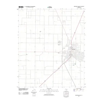
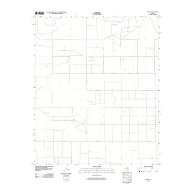
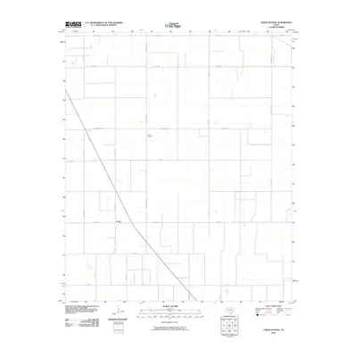
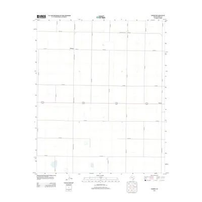
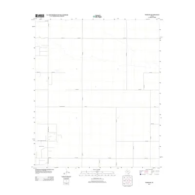
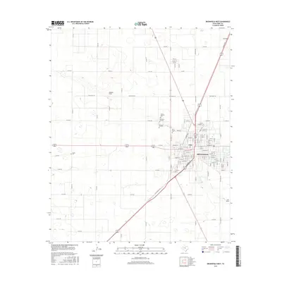
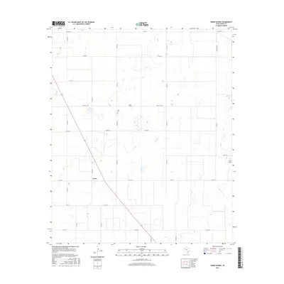
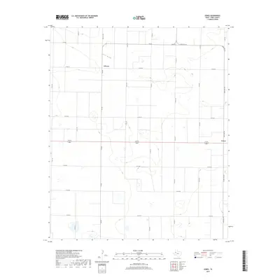
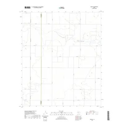
1969 Map of Union School
USGS Topo · Published 1971About this map
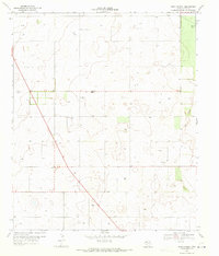
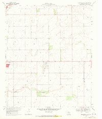
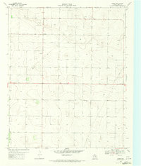
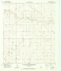
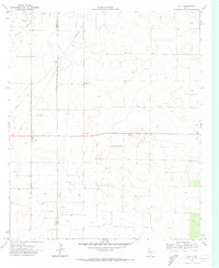
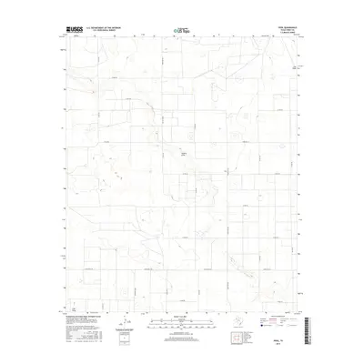
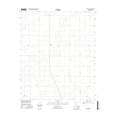
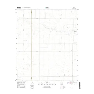
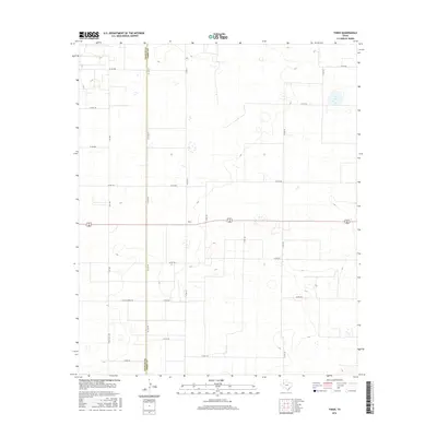
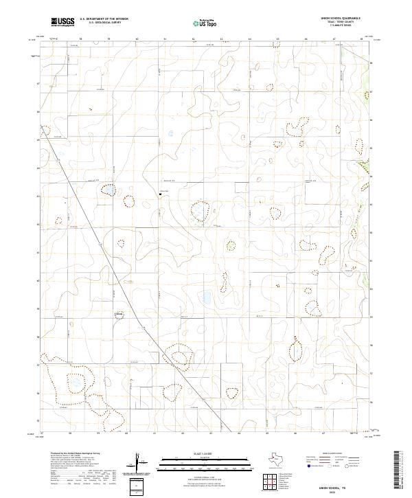
Scattered homesteads and petroleum extraction define the high plains landscape of Terry County in the late 1960s. The region is characterized by a sparse network of roads, including 137 and 213, which connect isolated water sources and industrial sites. At the heart of this rural community is the Union Sch and the nearby Union Cem, serving as the primary landmarks for local families and genealogists tracing early settlement patterns in this part of West Texas.
Find a feature on this map
12 named features on this map. Tap any name to fly to it.
Don’t see what you’re looking for? This feature index may not catch every label — zoom into the map to look around manually.
Map Details
Editions of this 1969 Union School Map
This is the sole edition of this map. No revisions or reprints were ever made.
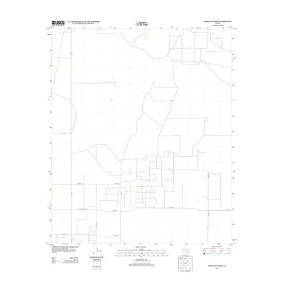
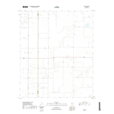
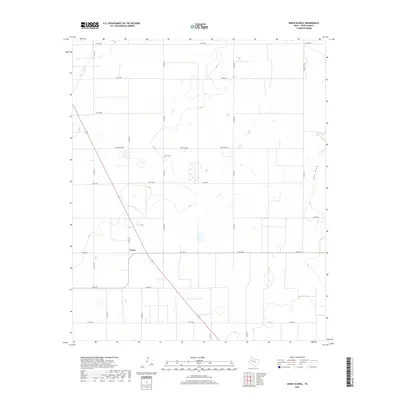
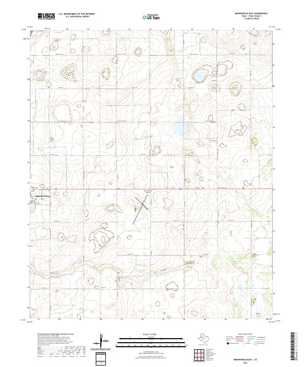
Historical Maps of Union Through Time
61 maps found
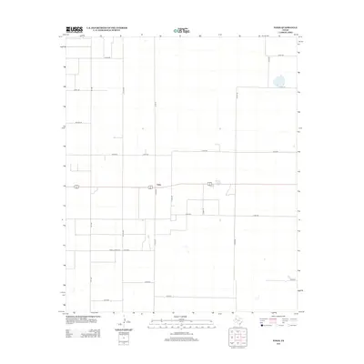
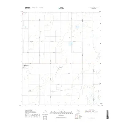
1969 Brownfield East
Terry County, TX
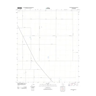
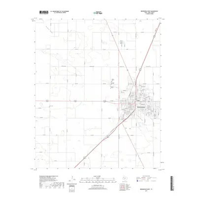
1969 Brownfield West
Terry County, TX
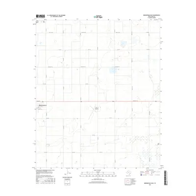
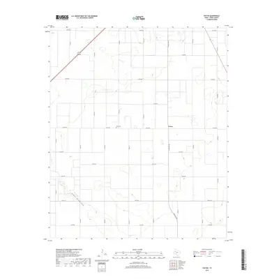
1969 Foster
Terry County, TX
1969 Gomez
Terry County, TX
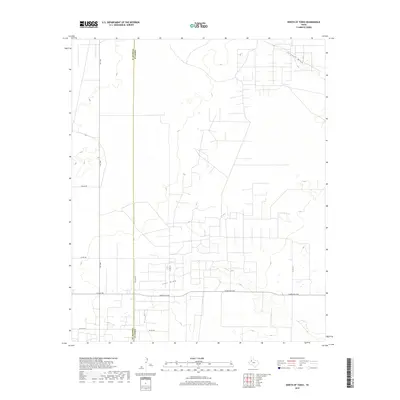
1969 North of Tokio
Terry County, TX
1969 Pool
Terry County, TX
1969 Sundown SE
Terry County, TX
1969 Union School
Terry County, TX
1970 Tokio SE
Terry County, TX
1970 Tokio
Terry County, TX
1976 Meadow SW
Terry County, TX
2010 Brownfield East
Terry County, TX
2010 Brownfield West
Terry County, TX
2010 Foster
Terry County, TX
2010 Gomez
Terry County, TX
2010 North of Tokio
Terry County, TX
2010 Pool
Terry County, TX
2010 Sundown SE
Terry County, TX
2010 Tokio SE
Terry County, TX
2010 Tokio
Terry County, TX
2010 Union School
Terry County, TX
2012 Brownfield East
Terry County, TX
2012 Brownfield West
Terry County, TX
2012 Foster
Terry County, TX
2012 Gomez
Terry County, TX
2012 North of Tokio
Terry County, TX
2012 Pool
Terry County, TX
2012 Sundown SE
Terry County, TX
2012 Tokio SE
Terry County, TX
2012 Tokio
Terry County, TX
2012 Union School
Terry County, TX
2016 Brownfield East
Terry County, TX
2016 Brownfield West
Terry County, TX
2016 Foster
Terry County, TX
2016 Gomez
Terry County, TX
2016 North of Tokio
Terry County, TX
2016 Pool
Terry County, TX
2016 Sundown SE
Terry County, TX
2016 Tokio SE
Terry County, TX
2016 Tokio
Terry County, TX
2016 Union School
Terry County, TX
2019 Brownfield East
Terry County, TX
2019 Brownfield West
Terry County, TX
2019 Foster
Terry County, TX
2019 Gomez
Terry County, TX
2019 North of Tokio
Terry County, TX
2019 Pool
Terry County, TX
2019 Sundown SE
Terry County, TX
2019 Tokio SE
Terry County, TX
2019 Tokio
Terry County, TX
2019 Union School
Terry County, TX
2022 Brownfield East
Terry County, TX
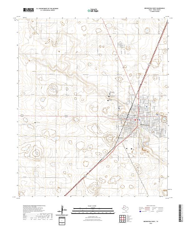
2022 Brownfield West
Terry County, TX
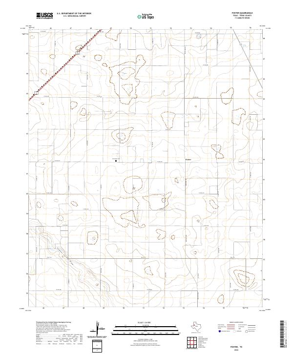
2022 Foster
Terry County, TX
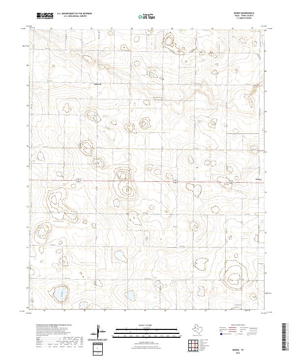
2022 Gomez
Terry County, TX
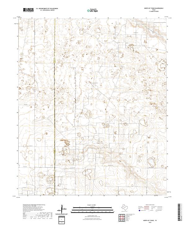
2022 North of Tokio
Terry County, TX
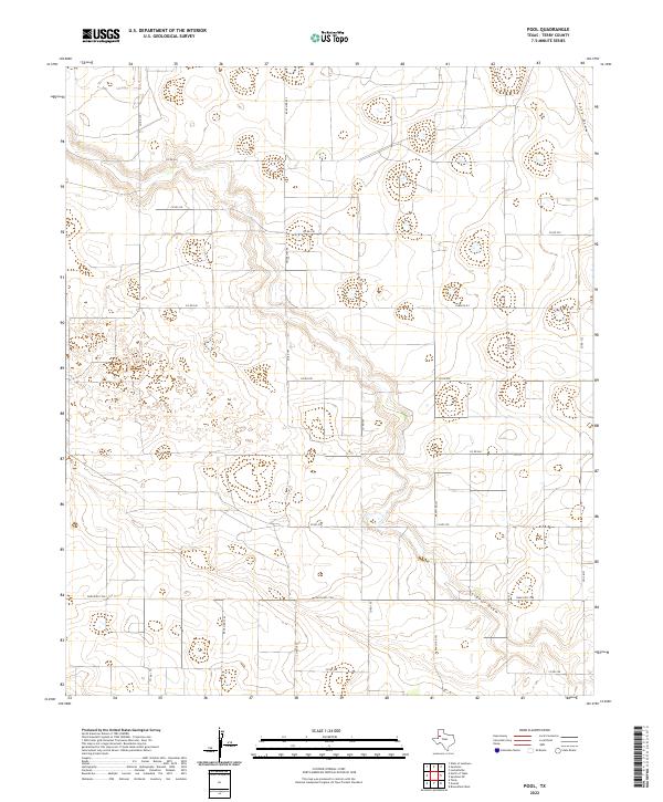
2022 Pool
Terry County, TX
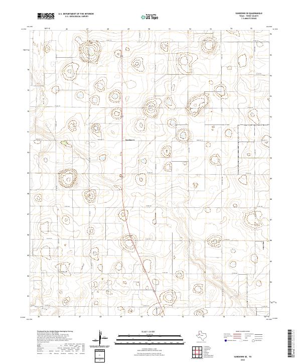
2022 Sundown SE
Terry County, TX
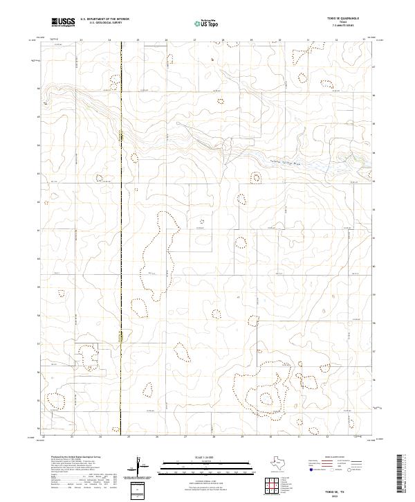
2022 Tokio SE
Terry County, TX
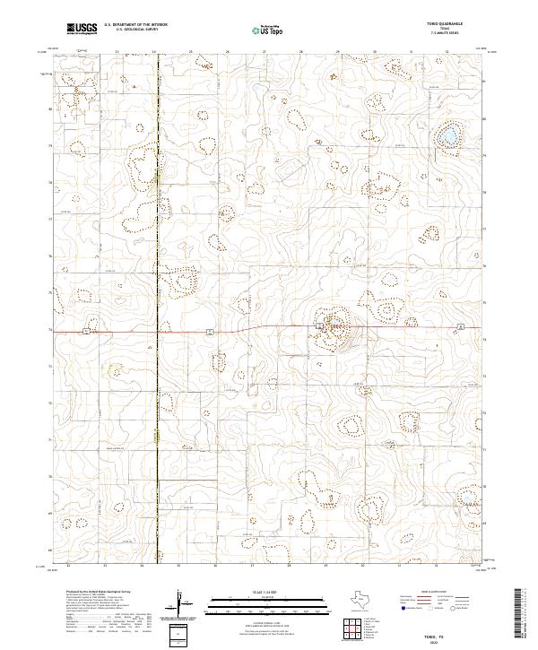
2022 Tokio
Terry County, TX
2022 Union School
Terry County, TX