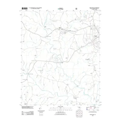
2011 Map of Union West
USGS Topo · Published 2011About this map
Buffalo and the neighboring district of Goat Alley serve as the focal point for this survey of western Union County, where industrial and agricultural history converge. The landscape is defined by the winding course of Fairforest Creek and the Tyger River, with a dense network of local cemeteries including Swink-Little Cemetery and Murphy-Duncan Cemetery providing significant touchpoints for genealogical research. Transportation patterns are anchored by several notable crossings such as Murphy Bridge, Cedar Bluff Bridge, and the historic Bobos Ford.
Find a feature on this map
100 named features on this map. Tap any name to fly to it.
Don’t see what you’re looking for? This feature index may not catch every label — zoom into the map to look around manually.
Map Details
Editions of this 2011 Union West Map
This is the sole edition of this map. No revisions or reprints were ever made.
Other maps of this area

1941 · Spartanburg
USGS Topo · 1:250,000

1947 · Spartanburg
USGS Topo · 1:62,500

1949 · Spartanburg
USGS Topo · 1:62,500

1953 · Spartanburg
USGS Topo · 1:250,000

1960 · Spartanburg
USGS Topo · 1:250,000

1963 · Spartanburg
USGS Topo · 1:250,000

1964 · Spartanburg
USGS Topo · 1:250,000

1969 · Cross Anchor
USGS Topo · 1:24,000

1969 · Union West
USGS Topo · 1:24,000

1969 · Sedalia
USGS Topo · 1:24,000